What is recorded here
Fairy fort in Pluckanes North is a circular earthen enclosure, 21 metres north-south and 20 metres east-west, with a 1.25-metre bank on the west and north and a 1-metre scarp on the north-east to south-south-east. It sits in pasture on a gentle south-east-facing slope, its interior raised slightly on the south-east to compensate for the hillslope, while a field fence running west-northwest to east-south-east cuts across the south-west side. People may have lived there, marked territory, or kept something out of reach of ordinary sight. The shape still holds its own against the fence, the slope and forgetting.
In pasture, on gentle SE-facing slope. Circular area (21m N-S; 20m E-W) defined by earthen bank (int. H 1.25m) W->N; scarp (H 1m) N->SSE. Field fence, running WNW-ESE, truncates enclosure on SW side. Interior raised slightly on SE side to compensate for hillslope.
The above description is derived from the published 'Archaeological Inventory of County Cork. Volume 3: Mid Cork' (Dublin: Stationery Office, 1997). In certain instances the entries have been revised and updated in the light of recent research.
Date of upload/revision: 14 January 2009
The monument record does not grant public access. Check the route and ask the landowner before entering private land.
- What survives
- Recorded monument
Places near here
 Fulachta FiadhFulacht fia · 1.7 mi
 Lyradane MountainMountain / peak · 1.9 mi
 Firmount Bridgebridge · 2.0 mi
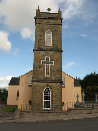 St Joesph's Roman Catholic Churchchurch/chapel · 2.1 mi
 Lackabane LiosFairy fort / earthen ringfort · 2.4 mi
 New TipperaryVisitor information · 2.4 mi
 Ballyvodane Castle (in Ruins)Castle, unclassified · 2.4 mi
 Rock HillMountain / peak · 2.8 mi
 Castle (Site of)Castle, Anglo-Norman masonry castle · 3.2 mi
 Pairc Ath Na hEornaMemorial · 4.6 mi
 Knockduff Wind FarmVisitor information · 4.7 mi
 Saint Bartholomew's WellSpring · 4.7 mi