What is recorded here
Situated on a knoll of rock outcrop rising from the SW-facing slope of Patrickstown Hill. Grass-covered subcircular area (dims 28m NE-SW; 23m NW-SE) defined by an earthen bank (Wth 3.3m int. H 0.3m; ext. H 0.8m) and outer fosse (Wth of top 5.5m; ext. D 1m) N-E, on the upslope side and by the steep slopes of the outcrop (H 1m at NW to c. 5m at SW) elsewhere. There is no identifiable entrance.
Compiled by: Michael Moore
Date of upload: 25 May, 2016
The monument record does not grant public access. Check the route and ask the landowner before entering private land.
- What survives
- Recorded monument
Places near here
 Earthen TumulusCastle, motte · 585 yd
 Concentric enclosure in PatrickstownConcentric enclosure · 637 yd
 Enclosure in PatrickstownEnclosure · 637 yd
 Oliver Plunkett memorialMemorial · 1092 yd
 Largan WoodWood · 1.5 mi
 Slieve Na CalliaghMountain / peak · 1.5 mi
 Loughcrew Megalithic TombsHeritage attraction · 1.6 mi
 Drumlerry WetlandForest · 1.7 mi
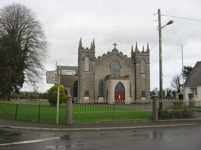 Catholic Church of the Assumptionchurch/chapel · 1.8 mi
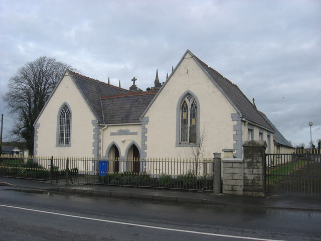 Ballinlough National Schoolschool · 1.8 mi
 LoughcrewMegalithic tomb cemetery · 2.2 mi
 Moat of DiamorCastle, motte and bailey · 2.3 mi