What is recorded here
Marianne said the fort was a bedroom for the fairies and refused to walk past it after dark. The earthen bank rose a metre and a half, clothed in hawthorn, while nettles choked the shallow ditch at its foot. We laughed until a white shape moved through the eastern bushes, then we ran for the lane with our jackets snapping behind us.
In pasture, on gentle E-facing slope. Circular area (33.5m N-S; 31.5m E-W) enclosed by earthen bank (max. int. H 1m; max. ext. H 1.5m). Bank planted with mature hawthorn bushes; some stone facing noted on external bank face. Fosse survives as gentle slope down to base of bank; overgrown with nettles. Entrance (Wth 3.5m) to NE. Interior grass-covered except for bushes in E quadrant.
See also:
July 2000 - unpublished archaeological report by Archaeological Services Unit, UCC.
The above description is derived from the published 'Archaeological Inventory of County Cork. Volume 4: North Cork' (Dublin: Stationery Office, 2000). In certain instances the entries have been revised and updated in the light of recent research.
Date of upload/revision: 14 January 2009
The monument record does not grant public access. Check the route and ask the landowner before entering private land.
- What survives
- Recorded monument
Places near here
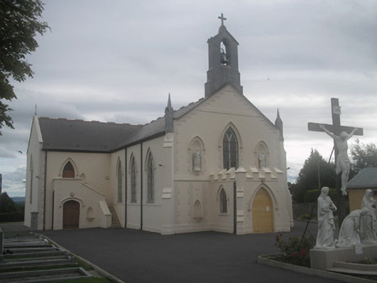 Saint Bartholomew’s Churchchurch/chapel · 349 yd
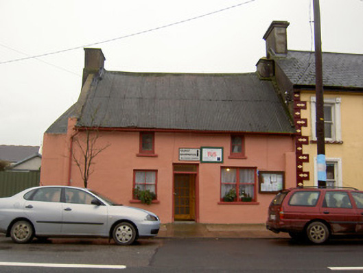 Tourist Information/Fás Officehouse · 391 yd
 Castletown Castle (Site of)Castle, unclassified · 989 yd
 Ballyenehan Castle (Site of)Castle, unclassified · 1187 yd
 Flat cemetery in Ballyenahan NorthFlat cemetery · 1569 yd
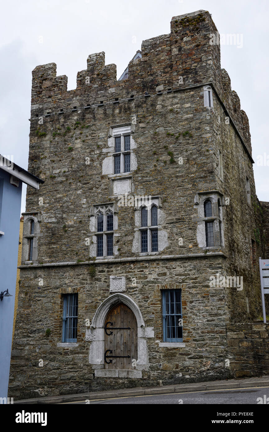 Fulacht fia in OldcastletownFulacht fia · 1741 yd
 Mass-rock in FarahyMass-rock · 1.1 mi
 North Meadow WoodForest · 1.9 mi
 Horse Field WoodForest · 2.0 mi
 CarrigeenamronetyMountain / peak · 3.4 mi
 Anne's Grove GardensHeritage attraction · 4.0 mi
 Coolfree MountainMountain / peak · 4.2 mi