What is recorded here
Mundellihy is a lost ringfort where a modern farmhouse and compost heap have erased most of the ancient earthworks. The surviving scarped edge still marks a twenty-six metre circle beside a stream, proving that human hands shaped the land long before the house appeared.
On low-lying level pasture. Monument, depicted as embanked circular enclosure on 1924 OS 6-inch map, has been levelled except for arc of scarped edge (H 1.6m; Wth ) SSW->NNE, defining roughly circular area (diam. 26m). Scarp is best preserved SSW->W where there is a sharp dip down to stream. Scarp has been modified W->NNE where drain (D 1m), feeding into stream, has been cut along its base. Level interior under pasture. Silage bales are stored along E edge of interior, and there is a compost heap in NE quadrant. According to landowner rubble from demolition of old thatched house was dumped over interior in 1953; a modern dwelling now occupies site of thatched house which lies immediately W of enclosure.
Compiled by: Denis Power
Date of upload: 26 August 2011
The monument record does not grant public access. Check the route and ask the landowner before entering private land.
- What survives
- Recorded monument
Places near here
 Enclosure in BallinlongigEnclosure · 111 yd
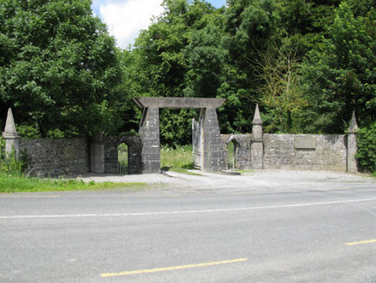 Springfield Castledemesne walls/gates/railings · 1626 yd
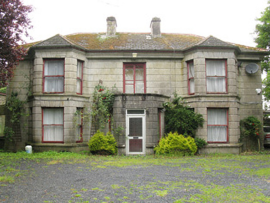 Woodfield Househouse · 1.0 mi
 DromcolliherSettlement cluster · 1.1 mi
 National Co-op MuseumMuseum · 1.2 mi
 CastleCastle, unclassified · 1.2 mi
 ToberacappeenSpring · 1.2 mi
 Castle (in ruins), Springfield CastleCastle, tower house · 1.3 mi
 ToberhoranSpring · 2.1 mi
 Mullaghareirk - Banane LoopWalking route · 5.9 mi
 Ballagh MountainMountain / peak · 6.5 mi
 Battle of LiscarrollMajor battlefield · 8.1 mi