What is recorded here
Monument placed on the Register of Historic Monuments on the 17/02/1977. Extract from Iris Oifigiúil 25th February 1977.
Situated on NW facing slope of low rise of ground surrounded by gently undulating grassland. Ringfort (WM011-141---) 320m to NNE, ringfort (WM011-138---) 200m to S, ring-barrow (WM011-137----) and stepped-barrow (WM011-159----) 100m to SW. A large sub-circular shaped area (approx. diam. 40m N-S) enclosed by two earthen banks and intervening fosse. The E half of the monument has been levelled. The inner bank is poorly preserved, the fosse is filled up at NE and the outer bank is little more than a counterscarp, levelled at E. Both banks have several disturbance gaps. The fosse seems to have been re-cut and converted into a sunken way or laneway visible from S-W only. A field boundary running NW-SE bisecs the interior of the ringfort. Post-1837 field fences intersect the perimeter of the monument at NE.
Compiled by: Frank Coyne and Caimin O'Brien
Date of upload: 29 August 2017
The monument record does not grant public access. Check the route and ask the landowner before entering private land.
- What survives
- Recorded monument
Places near here
 Partially hachuredFairy fort / earthen ringfort · 399 yd
 Lack LomanArchaeological place · 640 yd
 Portloman AbbeyChurch · 1339 yd
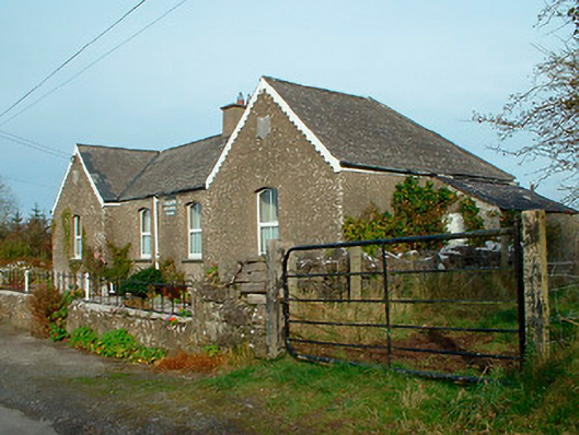 Balrath National Schoolschool · 1386 yd
 Nugent's CastleCastle · 1442 yd
 IndicatedCastle, motte · 1480 yd
 Carrickphilbin IslandIslet · 1649 yd
 Srudarra IslandIslet · 1.7 mi
 Baronstown ForestWood · 4.1 mi
 Bridge Memorial (Kenna)Memorial · 4.2 mi
 Horse-chestnutHorse-chestnut · 4.3 mi
 Abbeyshrule AbbeyRuins · 9.5 mi