What is recorded here
Moneensauran holds a twenty-five metre circular fort where an earthen bank and ditch still trace the boundary. The north-western edge remains the sharpest, although the entrance has vanished under grass and time. People may have lived inside the ring or feared the fairies said to occupy it, yet no doorway remains visible for either claim.
Raised circular area (int. dims. 24.9m) enclosed by an earthen bank and fosse, best preserved at NW. Original entrance not recognisable.
The above description is derived from the published 'Archaeological Inventory of County Cavan' (Dublin: Stationery Office, 1995). In certain instances the entries have been revised and updated in the light of recent research.
Date of upload/revision: 22 December 2008
The monument record does not grant public access. Check the route and ask the landowner before entering private land.
- What survives
- Recorded monument
Places near here
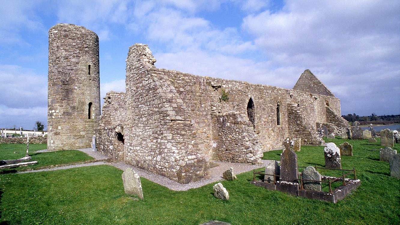 Moneensauran Cuilcagh Anierin Uplands Special Area of ConservationNature reserve · 1138 yd
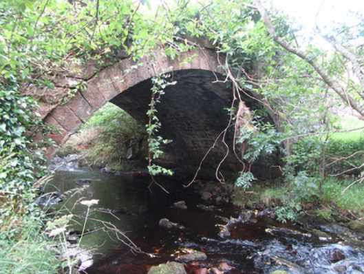 Carty’s Bridgebridge · 1392 yd
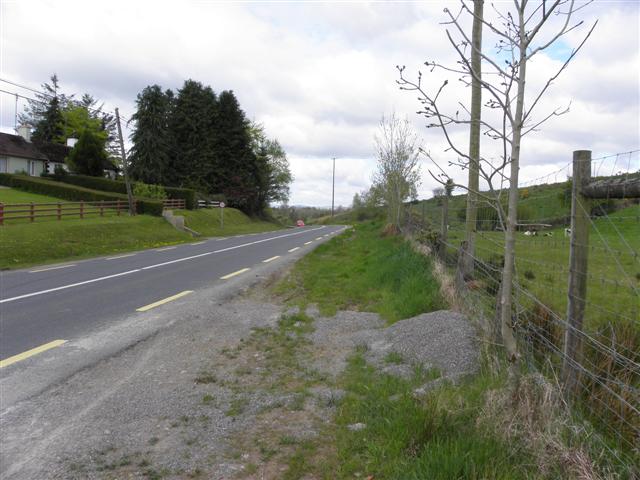 Derrynananta LowerMountain / peak · 1.1 mi
 IndicatedFairy fort / stone ringfort · 1.3 mi
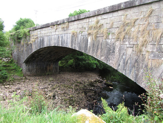 bridgebridge · 1.5 mi
 ArdvaghMountain / peak · 1.6 mi
 Crofton's HillForest · 1.7 mi
 Foxes CaveCave · 1.9 mi
 CarrignahastaCliff · 2.4 mi
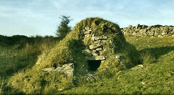 Sweathouse in GowlatSweathouse · 2.7 mi
 PlaygroudCliff · 2.8 mi
 CuilcaghMountain / peak · 3.5 mi