What is recorded here
Fairy fort in Moneensauran is a raised circular area twenty-two metres across, enclosed by two earthen banks and a waterlogged ditch. Its north-east entrance still shows matching breaks and a causeway, marking the place where people entered or exited. The fort may have housed families, stored grain, or marked territorial pride. It may also have been a boundary between the human world and the hidden worlds that Irish landscape still acknowledges.
Raised circular area (int. diam. 22.1m) enclosed by two substantial earthen banks with intervening deep, wide, partly waterlogged fosse. Corresponding breaks in banks with accompanying causeway at NE represents original entrance.
The above description is derived from the published 'Archaeological Inventory of County Cavan' (Dublin: Stationery Office, 1995). In certain instances the entries have been revised and updated in the light of recent research.
Date of upload/revision: 22 December 2008
The monument record does not grant public access. Check the route and ask the landowner before entering private land.
- What survives
- Recorded monument
Places near here
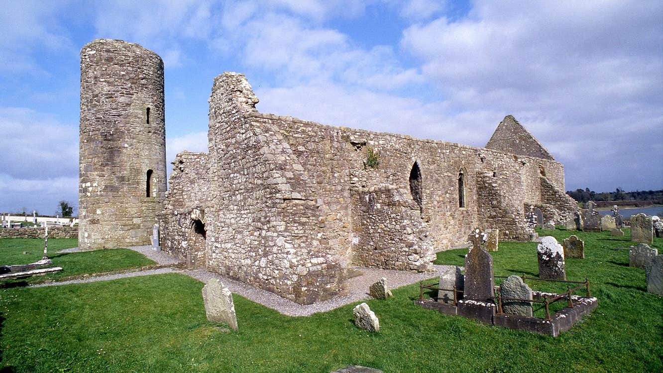 Moneensauran Cuilcagh Anierin Uplands Special Area of ConservationNature reserve · 1105 yd
 IndicatedFairy fort / stone ringfort · 1448 yd
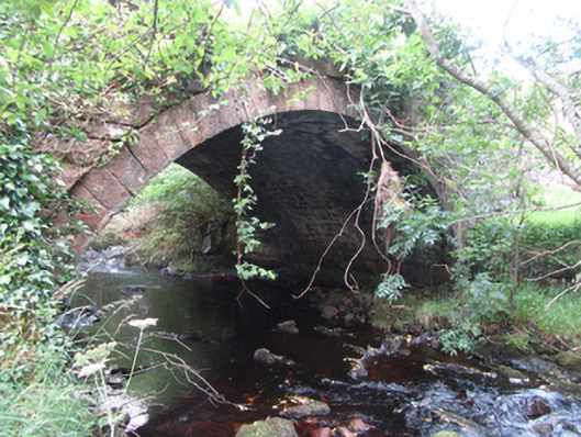 Carty’s Bridgebridge · 1492 yd
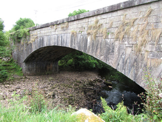 bridgebridge · 1.0 mi
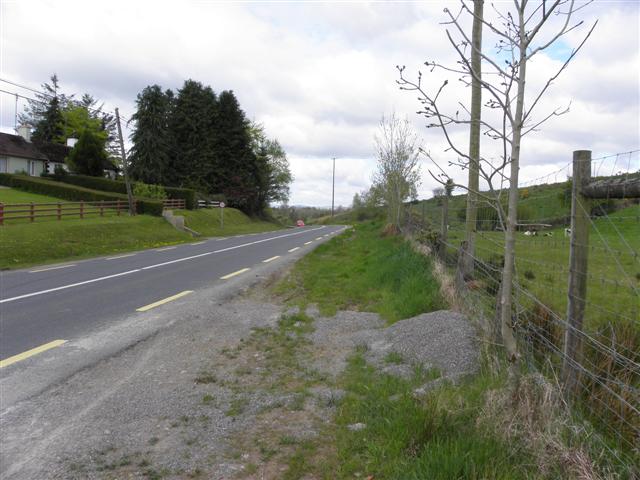 Derrynananta LowerMountain / peak · 1.4 mi
 ArdvaghMountain / peak · 1.5 mi
 Crofton's HillForest · 1.5 mi
 Foxes CaveCave · 1.7 mi
 CarrignahastaCliff · 2.1 mi
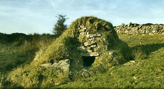 Sweathouse in GowlatSweathouse · 2.3 mi
 PlaygroudCliff · 2.5 mi
 CuilcaghMountain / peak · 3.6 mi