What is recorded here
Fairy forts in Monanimy Upper are earthen rings people stopped trusting because they witnessed what the land did to ordinary life. This one measured twenty metres across and still stands recorded beside a true ringfort, though soil and forgetfulness have erased its edge. The real boundary may be the difference between a circle strong enough to hold a person and a circle deep enough to take one.
In tillage, on W-facing slope. Depicted as hachured circular enclosure (diam. c. 20m) on 1842 OS 6-inch map. Levelled; no visible surface trace. Ringfort (CO026-07901-) in same field c. 50m to NNW.
The above description is derived from the published 'Archaeological Inventory of County Cork. Volume 4: North Cork' (Dublin: Stationery Office, 2000). In certain instances the entries have been revised and updated in the light of recent research.
Date of upload/revision: 14 January 2009
The monument record does not grant public access. Check the route and ask the landowner before entering private land.
- What survives
- Recorded monument
Places near here
 Fulacht fia in KillissaneFulacht fia · 888 yd
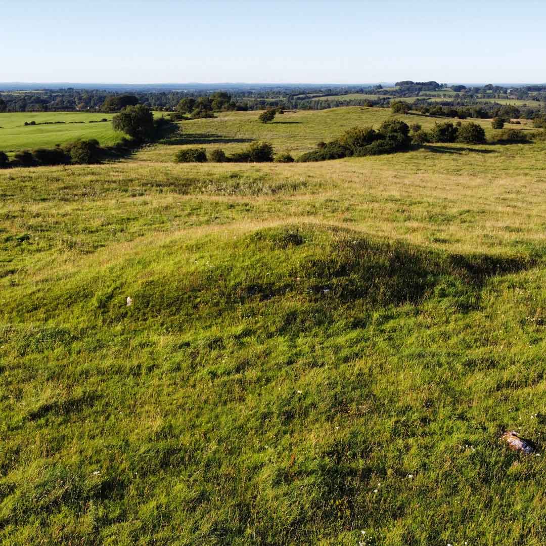 Burnt mound in Kilquane (fermoy By.)Burnt mound · 1038 yd
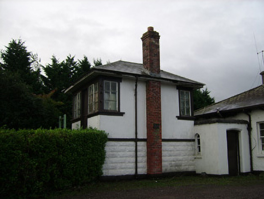 Power Seeds Ltdsignal box · 1211 yd
 Ballinardra Bridgebridge · 1354 yd
 Monanimy CastleCastle, tower house · 1680 yd
 Killavullen CavesCave · 1.2 mi
 Cave in BallymacmoyCave · 1.2 mi
 Killavuleen LOOPVisitor information · 1.4 mi
 CastleCastle, tower house · 1.5 mi
 Anne's Grove GardensHeritage attraction · 2.7 mi
 Blackwater (Avondhu) WayWalking route · 3.7 mi
 Knocknaskagh North TopMountain / peak · 4.0 mi