What is recorded here
Situated in low-lying, flat terrain in pasture with the River Suir flowing roughly N-S c. 100m to the E with possible ringfort (TN046-044) c. 80m to the S. An oval-shaped area (diam. 54m N-S; 44.4m E-W) enclosed by an earth and stone bank (Wth 2.2m; int. H 0.17m; ext. H 0.61) and a U-shaped fosse (Wth 2.8m; D 0.4m). The site is clearly visible on an aerial photograph (CUCAP, BGO 9).
Aerial photograph (GB89.AB.05) shows circular enclosure defined by a fosse; in close proximity to a circular enclosure (TN046-044) located to the south.
The above aerial report has been compiled by Dr. G.F. Barrett and supplied to the Archaeological Survey of Ireland.
Queries in relation to the reproduction of the aerial photographic image should be addressed to:
Dr. Gillian Barrett, 12 Lower Forge, Eardington, Bridgnorth, Shropshire, WV16 5LQ. UK.
Date of this report: 06/11/09
The above description is derived from 'The Archaeological Inventory of County Tipperary. Vol. 1 - North Tipperary' compiled by Jean Farrelly and Caimin O'Brien (Dublin: Stationery Office, 2002). In certain instances the entries have been revised and updated in the light of recent research.
Compiled by Caimin O'Brien
Date of upload/revision: 13 August 2010
The monument record does not grant public access. Check the route and ask the landowner before entering private land.
- What survives
- Recorded monument
Places near here
 Milltown CastleCastle · 670 yd
 Enclosure in Newtown (holycross Par.)Enclosure · 900 yd
 Twoford Bridgesbridge · 938 yd
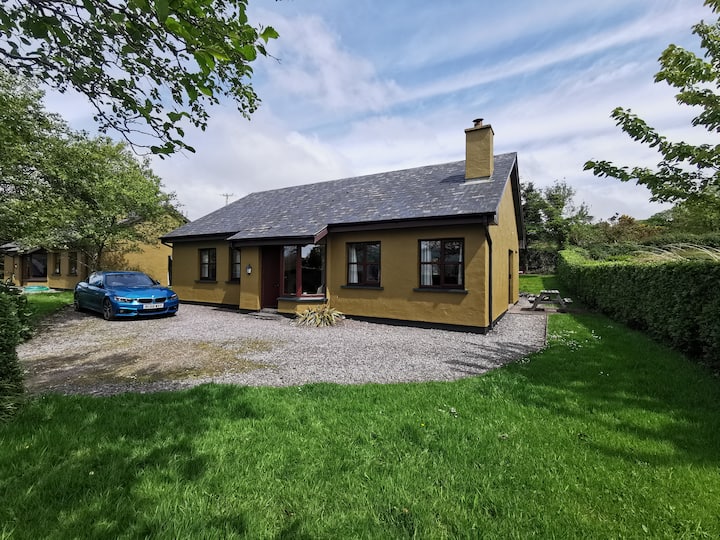 Enclosure in Milltown (clogher Par.)Enclosure · 1324 yd
 RathkennanCastle, motte and bailey · 1.1 mi
 Church FieldChurch · 1.2 mi
 Clonoulty HillMountain / peak · 2.5 mi
 Killough Hill (site of)Mountain / peak · 2.9 mi
 Drum WoodWood · 3.6 mi
 Cormackstown Heritage CentreMuseum · 3.8 mi
 Wildlife CorridorWood · 5.4 mi
 Lár na PáirceMuseum · 6.0 mi