What is recorded here
In rough pasture, on gentle ENE-facing slope, bordered by marshy area to SSE. Circular area (35m N-S; 34m E-W) defined by scarped edge SW->SSE, and enclosed by earthen bank (int. H 0.2m; ext. H 0.3m) SSE->SW. Scarp (H 0.65m; Wth 2.4m), best preserved ENE->SSE, lowers SW->ENE (H 0.25m); gap in scarp at NE (Wth c. 6.5m). Interior is under pasture, with roughly circular raised area (diam. c. 5m; H c. 0.15m) near centre.
Compiled by: Denis Power
Date of upload: 26 August 2011
The monument record does not grant public access. Check the route and ask the landowner before entering private land.
- What survives
- Recorded monument
Places near here
 Burial Gd.Graveyard · 1324 yd
 Dromard Housecountry house · 1352 yd
 Enclosure in Ballywilliam SouthEnclosure · 1664 yd
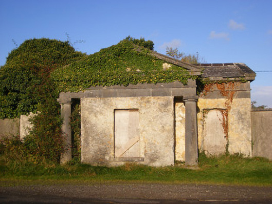 Ballywilliamgate lodge · 1.5 mi
 Bawn in Amogan MoreBawn · 1.8 mi
 Lissamota CastleCastle · 2.0 mi
 European ashEuropean ash · 2.3 mi
 LaghtpatrickSpring · 2.5 mi
 Lady's WellSpring · 2.9 mi
 Flat cemetery in CroaghFlat cemetery · 3.5 mi
 Flat cemetery in Kiltenan SouthFlat cemetery · 3.6 mi
 KnockfeerinaMountain / peak · 4.3 mi