What is recorded here
In level pasture. Monument, depicted as embanked penannular enclosure (opening facing E) on 1924 OS 6-inch map, has been levelled and incorporated into pasture field. Now evident as circular area (diam. 32m) defined by scarped edge (H 0.2m; Wth 2m) with external fosse (D 0.1m; Wth 3m). Level interior under pasture.
Compiled by: Denis Power
Date of upload: 26 August 2011
The monument record does not grant public access. Check the route and ask the landowner before entering private land.
- What survives
- Recorded monument
Places near here
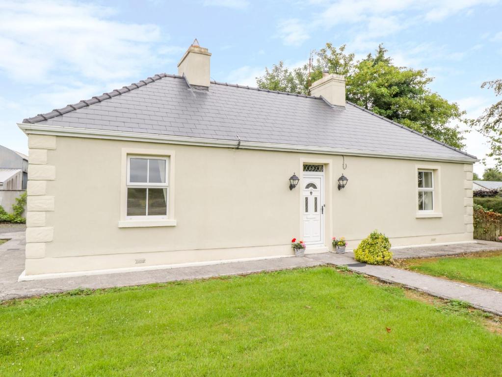 Enclosure in Ballintober EastEnclosure · 759 yd
 Mound in AppletownMound · 1.1 mi
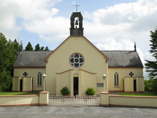 Saint Mary's Catholic Churchchurch/chapel · 1.4 mi
 Ahacomusk Bridgebridge · 1.6 mi
 Saint Ite's WellSpring · 2.6 mi
 Dotted outlineBawn · 2.7 mi
 Castle MahonCastle · 2.7 mi
 Ballagh MountainMountain / peak · 3.3 mi
 ToberhoranSpring · 3.4 mi
 National Co-op MuseumMuseum · 5.5 mi
 Mullaghareirk - Banane LoopWalking route · 5.5 mi
 Rock HillMountain / peak · 6.7 mi