What is recorded here
Fairy fort in Meelmane, County Cork: an earthen ringfort on an east-facing slope, already farmed and levelled by the time the 1842 survey marked it. It may have stood as a boundary marker, a shelter, or a small home for people whose names never reached us. The land swallowed its shape, but the slope still faces the light, keeping the ghost of a circle alive beneath the soil.
In tillage, on E-facing slope. Marked as circular enclosure on OS 6-inch map (1842). Levelled, no visible surface trace.
The above description is derived from the published 'Archaeological Inventory of County Cork. Volume 1: West Cork' (Dublin: Stationery Office, 1992). In certain instances the entries have been revised and updated in the light of recent research.
Date of upload/revision: 14 January 2009
The monument record does not grant public access. Check the route and ask the landowner before entering private land.
- What survives
- Recorded monument
Places near here
 Fulacht fia in CourtmacsherryFulacht fia · 320 yd
 Courtmacsherry LoopWalking route · 502 yd
 Chilean myrtleChilean myrtle · 608 yd
 Craigie Houseschool · 616 yd
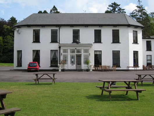 Courtmacsherry Hotelcountry house · 621 yd
 CourtCastle, unclassified · 639 yd
 Cork oakCork oak · 650 yd
 Portadooneen FortPromontory fort, coastal · 710 yd
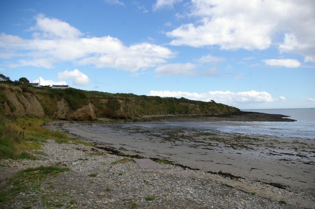 Broad StrandBeach / strand · 1248 yd
 Anchor from Cardiff Hall ShipHeritage attraction · 1533 yd
 Lusitania ModelHeritage attraction · 1566 yd
 RailwayMemorial · 1.1 mi