
What is recorded here
Half the fort is gone, swallowed by the Atlantic, leaving only a triangular neck of land where a deep curved fosse once bit across the rock. What remains is a bruised edge of earth and sea, the interior collapsed into the water while the defensive bank still stands guard over nothing. The ocean did not erase the place so much as rearrange it, taking the house but keeping the gate.
Triangular area projecting SW from, and running parallel to, mainland. Westropp (1914-16, 107) recorded 'a deep curved fosse' across neck and 'a fenced interior', measuring '69ft in each direction being nearly circular'. Bank (H 4.7m) and fosse (D 4.1m) with counterscarp bank (H 1.3m) defend neck of promontory. Interior much eroded and collapsed into sea.
The above description is derived from the published 'Archaeological Inventory of County Cork. Volume 1: West Cork' (Dublin: Stationery Office, 1992). In certain instances the entries have been revised and updated in the light of recent research.
Date of upload/revision: 14 January 2009
Portadooneen Fort is a likely early-medieval ringfort situated on a triangular promontory near Courtmacsherry. It features a deep curved fosse and a fenced interior, and local tradition may associate it with fairy lore, as is common with such sites in Irish folklore.
The monument record does not grant public access. Check the route and ask the landowner before entering private land.
- What survives
- Recorded monument
Places near here
 Courtmacsherry LoopWalking route · 644 yd
 Fulacht fia in CourtmacsherryFulacht fia · 702 yd
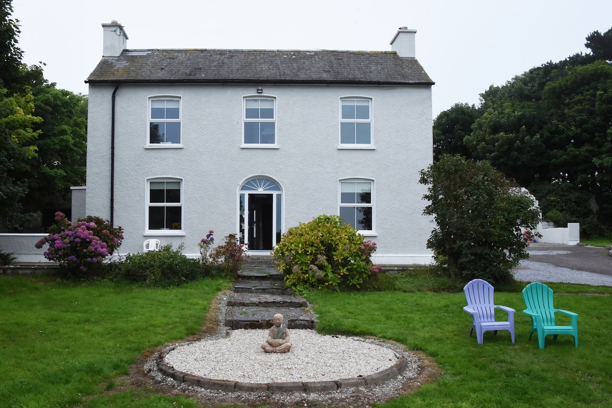 Man-made underground passage in CourtmacsherryMan-made underground passage · 1011 yd
 Chilean myrtleChilean myrtle · 1065 yd
 The OctagonRuins · 1077 yd
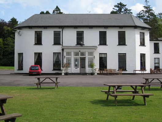 Courtmacsherry Hotelcountry house · 1098 yd
 Cork oakCork oak · 1124 yd
 CourtCastle, unclassified · 1134 yd
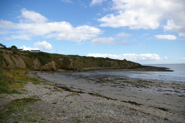 Broad StrandBeach / strand · 1272 yd
 Blind StrandBeach / strand · 1.1 mi
 Anchor from Cardiff Hall ShipHeritage attraction · 1.3 mi
 HDS walk Coolim CliffsHeritage attraction · 1.3 mi
Other information
Photo: Credit not shown in the picture search · Rights wording not checked; contact us if this picture should be removed