What is recorded here
Located on top of a drumlin. This location is described as ‘Site of fort’ on a revision of the 1834 edition of the OS 6-inch map dated 1858. No archaeological feature is visible in improved pasture on aerial images (Google, OSI, Bing).
The above description is derived from the published 'Archaeological Inventory of County Monaghan' (Dublin: Stationery Office, 1986). In certain instances the entries have been revised and updated in the light of recent research.
Compiled by: Michael Moore
Date of revision: 23 February 2018
The monument record does not grant public access. Check the route and ask the landowner before entering private land.
- What survives
- Recorded monument
Places near here
 Lisleitrim FortFairy fort / earthen ringfort · 1.6 mi
 Glebe Houserectory/glebe/vicarage/curate's house · 1.9 mi
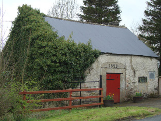 Ardaghy Forgeforge/smithy · 1.9 mi
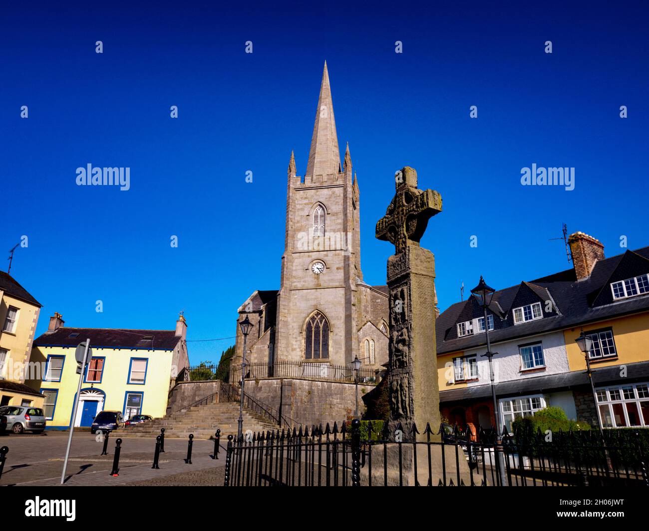 Embanked enclosureFairy fort / earthen ringfort · 2.0 mi
 Lady Rossmore's Cottage (Ruin)Heritage attraction · 2.6 mi
 Rossmore MausoleumHeritage attraction · 2.8 mi
 Castleshane WaterfallWaterfall · 3.4 mi
 Bawn in Roosky (monaghan By., Monaghan Par.)Bawn · 3.8 mi
 Rossmore MonumentMemorial · 3.9 mi
 Hazel WoodWood · 4.4 mi
 Battle of ClontibretBattlefield · 4.6 mi
 The Rabbit BurrowWood · 4.7 mi