What is recorded here
On a SSE-facing slope in low-lying pasture. A raised circular area (diam. 57.5m) enclosed by a wide low bank of earth and stone (Wth 9.7m; H 1.3m max.) with a wide, shallow, external fosse (Wth 4.3m; D 0.6m). The rath is divided into unequal portions by an ENE-WSW field boundary. In the smaller portion, to the NNW, the fosse has been infilled but its outline is still identifiable. A break (Wth 3m) in the bank at SSE with an accompanying causeway marks the original entrance. The remains of a house (LF017-021001-), possible of 17th century date, are evident within the ENE sector of the interior and a number of disused, short, linear field banks of uncertain date are also visible. Outside the fosse at SE a large, artificially constructed pond, may be contemporary with the house.
Compiled by: Patrick F. O'Donovan
Date of upload: 20 June 2012
The monument record does not grant public access. Check the route and ask the landowner before entering private land.
- What survives
- Recorded monument
Places near here
 IndicatedEnclosure · 1012 yd
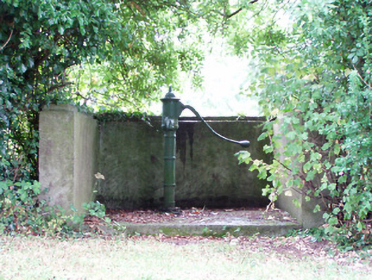 water pumpwater pump · 1500 yd
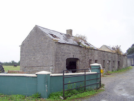 Cordara Houseoutbuilding · 1.1 mi
 Platform in Commons SouthPlatform · 1.1 mi
 Rathcline CastleBawn · 1.8 mi
 White Sand WoodWood · 1.9 mi
 Goat's IslandIslet · 2.4 mi
 Wild birdsVisitor information · 2.5 mi
 Little IslandIslet · 2.5 mi
 Caltragh CastleCastle, unclassified · 2.6 mi
 Commons North WalkVisitor information · 2.8 mi
 Culnagore WoodForest · 4.0 mi