What is recorded here
Death and distance may have broken the fort, but they did not erase it. The surviving scarp still marks a circular choice made under open sky. That is enough to stop the car, walk the quadrant and remember the difference between forgetting and losing.
Situated about the centre of a small NW-SE drumlin ridge. This rath, or rath (MO019-006----) c. 60m to the NW, is represented on McCrea’s Map of County Monaghan (1793), and it is also represented a small circular embanked enclosure (ext. diam. c. 25m) on the 1834 edition of the OS 6-inch map where it is described in gothic script as a ‘fort’. It is a grass-covered circular area (diam. c. 35-40m) quartered by NW-SE and NE-SW field banks. The S quadrant is overgrown but preserves a scarp (Wth 1.2m; H 1.7m) of a circular enclosure and there are slight traces of it in the E quadrant but it cannot be traced elsewhere. The W and N quadrants had been broken into one by 2000 (OSAP).
The above description is derived from the published 'Archaeological Inventory of County Monaghan' (Dublin: Stationery Office, 1986). In certain instances the entries have been revised and updated in the light of recent research.
Revised by: Michael Moore
Date of revision: 22 June 2018
The monument record does not grant public access. Check the route and ask the landowner before entering private land.
- What survives
- Recorded monument
Places near here
 Not iindicatedHut site · 490 yd
 Michael MooreFairy fort / earthen ringfort · 904 yd
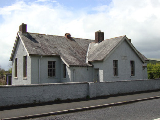 Annyalla National Schoolschool · 1407 yd
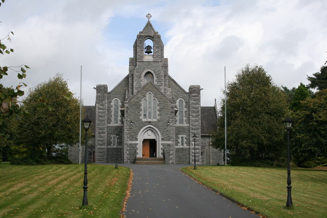 Saint Michael's Catholic Churchchurch/chapel · 1537 yd
 Battle of ClontibretBattlefield · 3.2 mi
 Monaghan WayWalking route · 3.6 mi
 Fort HillWood · 3.7 mi
 John Francis GreenMemorial · 3.9 mi
 The CrescentMemorial · 4.1 mi
 Laragh WoodForest · 4.5 mi
 Bawn in OnomyBawn · 4.6 mi
 Blaney CastleCastle · 4.6 mi