What is recorded here
Fairy fort in Lislea, County Louth: a circular earthwork about 32.5m across, its bank worn to a scarp and its entrance lost. Plough ridges have cut through it, yet the shape remains, a shallow bowl in the field where people once drew a line around their lives. The fairies may have taken the entrance, but they left the circle behind.
The following description is derived from both the published 'Archaeological Inventory of County Louth' (Dublin: Stationery Office, 1986) and the 'Archaeological Survey of County Louth' (Dublin: Stationery Office, 1991). In certain instances the entries have been revised and updated in the light of recent research.
Date of upload/revision: 17 July 2007
Circular area (int. diam. 32.5m) enclosed by much-degraded earthen bank now reduced to a scarp. No visible trace of fosse or ancient entrance. Site badly mutilated by cultivation ridges.
This remains an important historical record, but the official description says the monument is no longer visible or has been destroyed. The monument record does not grant public access. Check the route and ask the landowner before entering private land.
- What survives
- No visible remains or recorded as destroyed
Places near here
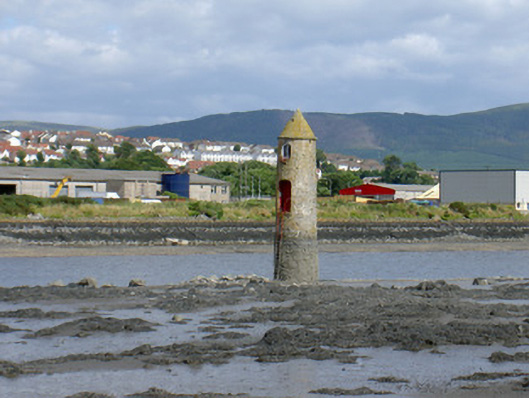 Newry River Lighthouse (Front)beacon · 421 yd
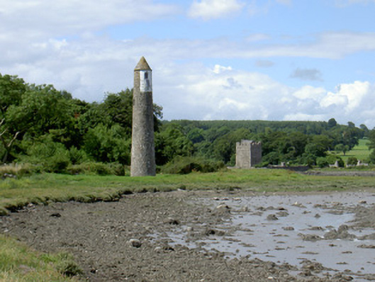 Newry River Lighthouse (Rear)beacon · 583 yd
 Ecclesiastical site in CornamucklaghEcclesiastical site · 742 yd
 Narrow Water KeepHeritage attraction · 1018 yd
 TOWER-HOUSE AND BAWN: NARROW WATER CASTLE in Narrow WaterTOWER-HOUSE AND BAWN: NARROW WATER CASTLE · 1033 yd
 Narrow Water WatchtowerVisitor information · 1034 yd
 Warrenpoint ambushambush · 1046 yd
 Fulacht fia in CornamucklaghFulacht fia · 1264 yd
 Narrow Water CastleCastle · 1475 yd
 Joanne ReillyMemorial · 1523 yd
 Anglesey MountainMountain / peak · 1.4 mi
 Dobbin's PointHeadland · 1.9 mi