What is recorded here
Fairy fort / earthen ringfort in Lisgoold North is a vanished circular enclosure, about twenty-two metres across, on a south-facing slope above a road. It has been levelled into a field, leaving only low undulations where a boundary once stood. The loss is not empty; it is a invitation to imagine the people who lived there, the children who played inside, and the neighbours who passed below. Forgetting the shape does not erase the life that shaped it.
On S-facing slope; steep drop onto road to E. Shown on all eds of OS 6-inch map as circular enclosure (diam. c. 22m). Levelled; low undulations in field.
The above description is derived from the published 'Archaeological Inventory of County Cork. Volume 2: East and South Cork' (Dublin: Stationery Office, 1994). In certain instances the entries have been revised and updated in the light of recent research.
Date of upload/revision: 14 January 2009
The monument record does not grant public access. Check the route and ask the landowner before entering private land.
- What survives
- Recorded monument
Places near here
 bridgebridge · 134 yd
 presbytery/parochial/curate's housepresbytery/parochial/curate's house · 465 yd
 Man-made underground passage in Corbally South (barrymore By., Lisgoold Par.)Man-made underground passage · 1171 yd
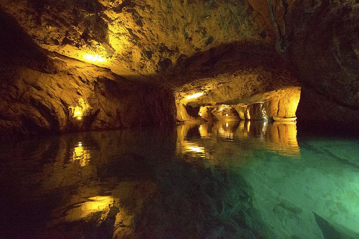 Man-made underground passageMan-made underground passage · 1.4 mi
 Court (site of )Castle, unclassified · 1.6 mi
 Leamlara Castle (in Ruins)Castle, tower house · 2.3 mi
 Curragh WoodsWood · 2.5 mi
 Graveyard in Broomfield WestGraveyard · 3.5 mi
 Moanbaun ForestForest · 3.7 mi
 Devonshire's HillMountain / peak · 4.5 mi
 Midleton IRA MonumentMemorial · 4.6 mi
 Jameson Distillery MidletonHeritage attraction · 4.9 mi