What is recorded here
At the SW end of a low ridge in otherwise wet, low-lying pasture. A raised circular area (diam. 33.4m) enclosed by a low bank of earth and stone (Wth 7.2m; H 0.4m) with a shallow intervening fosse (Wth 6.5m; D 0.3m) and a low, much-denuded, outer bank (Wth c. 3m; H 0.25m). The original entrance is not recognisable. The rath is very densely overgrown with vegetation rendering satisfactory inspection impossible.
Compiled by: Patrick F. O'Donovan
Date of upload: 26 August 2011
The monument record does not grant public access. Check the route and ask the landowner before entering private land.
- What survives
- Recorded monument
Places near here
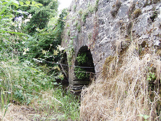 bridgebridge · 408 yd
 FortsFairy fort / earthen ringfort · 648 yd
 LF014-104---- : Ringfort - rath : OLDTOWNArchaeological place · 708 yd
 Oldtown DemesneForest · 758 yd
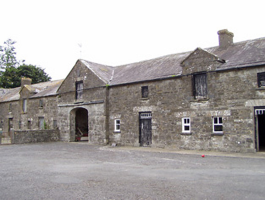 Oldtown Houseoutbuilding · 847 yd
 Oldtown CopseWood · 924 yd
 Bawn in LissardowlanBawn · 1.3 mi
 CastleCastle, Anglo-Norman masonry castle · 1.3 mi
 National Famine WayWalking route · 3.9 mi
 Saint Mel's CathedralCathedral · 4.4 mi
 First World War MemorialMemorial · 4.5 mi
 Graveyard in Curry (ardagh By., Coolamber Ed)Graveyard · 5.1 mi