What is recorded here
Situated on a gently sloping terrace on the SE side of Red Hill. Circular area (dims. 32.4m N-S; 31.2m E-W) enclosed by a poorly preserved, low bank of earth and large stones (Wth. 1m - 2.6m). In places all that survives is a series of boulders, possibly the remnants of a kerb. At S and W the perimter been incorporated into linear field boundaries. No fosse. Original entrance not recognisable. Within the internal area, which has a general slope from W to E, are two scarps which mark further changes in ground level. At W a low scarp (H 0.6m) revetted with large stones and boulders extends in a shallow arc from S-W-N defining the W side of a level central area (dims. c.15m N-S; 10m N-S). On the E side of this feature is a broader, less well defined scarp (H 0.7m). At the S of the internal area a portion of the site has been cut away. Close to this is a small hollow, partially defined by stones.
Compiled by: Patrick F. O'Donovan
Date of upload: 19 January 2011
The monument record does not grant public access. Check the route and ask the landowner before entering private land.
- What survives
- Recorded monument
Places near here
 Enclosure in Lecarrow (tireragh By., Skreen Ed)Enclosure · 135 yd
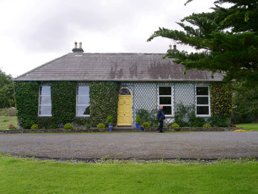 Holy Hill Hermitagehouse · 781 yd
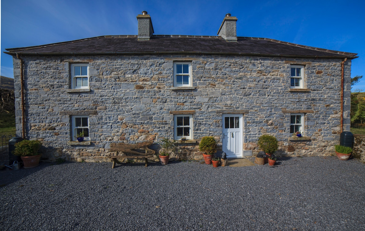 Enclosure in Skreen MoreEnclosure · 816 yd
 Skreen Churchchurch/chapel · 1337 yd
 CastleCastle, Anglo-Norman masonry castle · 2.0 mi
 Knockalongy North-East TopMountain / peak · 2.3 mi
 Valley WoodForest · 2.4 mi
 Dunmoran StrandBeach / strand · 2.4 mi
 Bawn in Longford DemesneBawn · 2.6 mi
 Pigeonpark WoodForest · 2.7 mi
 KnockalongyMountain / peak · 2.8 mi
 Aughris BeachBeach / strand · 2.9 mi