What is recorded here
Situated on a gentle SE-facing slope on the E side of Red Hill. Raised oval area (23.8m E-W; 18.4m N-S) enclosed by a low bank (Wth 2.9m; H 0.15m) with evidence for both internal and external stone kerbing. From SSW-W-WNW the bank has been incorporated into a modern, although now disused, field boundary wall. At NE, 8.4m out from the outer foot of the bank is an arc of slightly raised ground (dim. 4.1m; H 0.35m) which may be the remains of an outer bank or wall. Break in bank at SE (Wth 3m) with accompanying causeway represents the original entrance. Built into the outer face of the rath bank at SE are the remains of a small, drystone-built, corbelled structure (max. dim. 1.2m; H 0.55m), probably a lime kiln. Built into a low rise immedaitely to N of the rath is a semi-circular feature (3m N-S; 2.6m E-W). Immediately N of this is an irregularly-shaped area (17.2m E-W; 11m N-S) defined by a curving line of contiguously set stones.
Compiled by: Patrick F. O'Donovan
Date of upload: 19 January 2011
The monument record does not grant public access. Check the route and ask the landowner before entering private land.
- What survives
- Recorded monument
Places near here
 Enclosure in Lecarrow (tireragh By., Skreen Ed)Enclosure · 280 yd
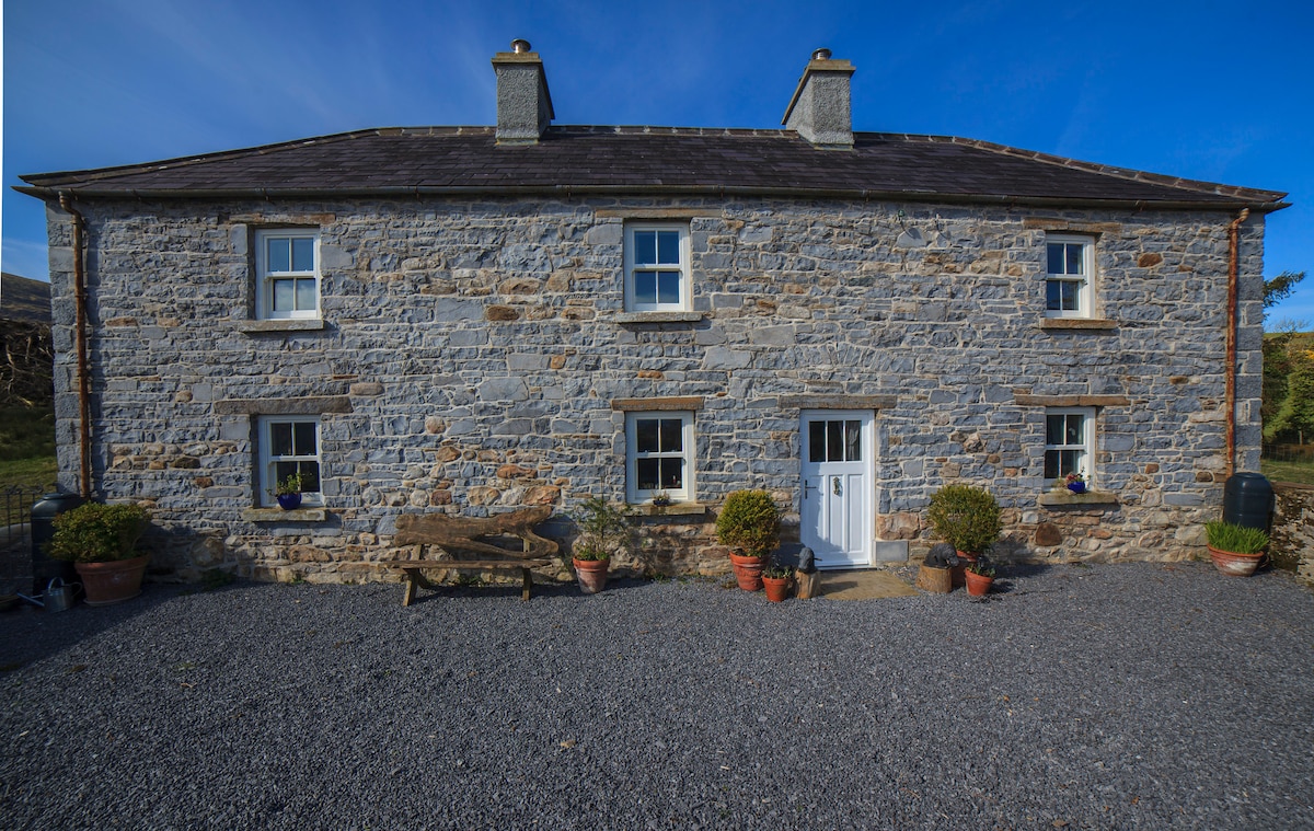 Enclosure in Skreen MoreEnclosure · 593 yd
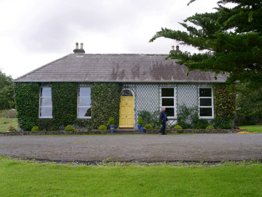 Holy Hill Hermitagehouse · 1016 yd
 Skreen Churchchurch/chapel · 1106 yd
 CastleCastle, Anglo-Norman masonry castle · 1.9 mi
 Dunmoran StrandBeach / strand · 2.3 mi
 Knockalongy North-East TopMountain / peak · 2.4 mi
 Valley WoodForest · 2.5 mi
 Bawn in Longford DemesneBawn · 2.7 mi
 Aughris BeachBeach / strand · 2.7 mi
 Pigeonpark WoodForest · 2.8 mi
 KnockalongyMountain / peak · 2.9 mi