What is recorded here
Clearing the field at Leadmore East, I found a shallow ring, not a grand castle. People called it a fairy fort, which means they respected the shape instead of forcing it into a human story. I liked that. A ring is a ring. The rest is breath, memory, or invention.
The Archaeological Survey of Ireland (ASI) is in the process of providing information on all monuments on The Historic Environment Viewer (HEV). Currently the information for this record has not been uploaded. To access available information for research purposes please make an appointment in advance with the Archive Unit (open Fridays 10.00 am – 5.00 pm), Department of Housing, Local Government and Heritage, The Custom House, Dublin 1 D01W6XO or email NMarchive@housing.gov.ie.
A fairy fort, or earthen ringfort in Leadmore East, is a circular earthwork enclosure typical of early-medieval Ireland, likely dating to between the 5th and 10th centuries. Such sites are often associated with folklore involving fairies or other supernatural beings, reflecting their enduring cultural significance in Irish tradition.
The monument record does not grant public access. Check the route and ask the landowner before entering private land.
- What survives
- Recorded monument
Places near here
 St. Senan's WellSpring · 308 yd
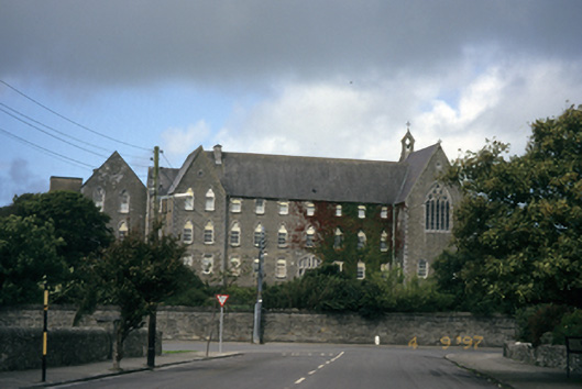 Saint Mary's Conventconvent/nunnery · 713 yd
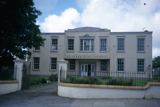 An Cheard Scoil Cillruisschool · 753 yd
 The Museum of Irish Rural LifeMuseum · 755 yd
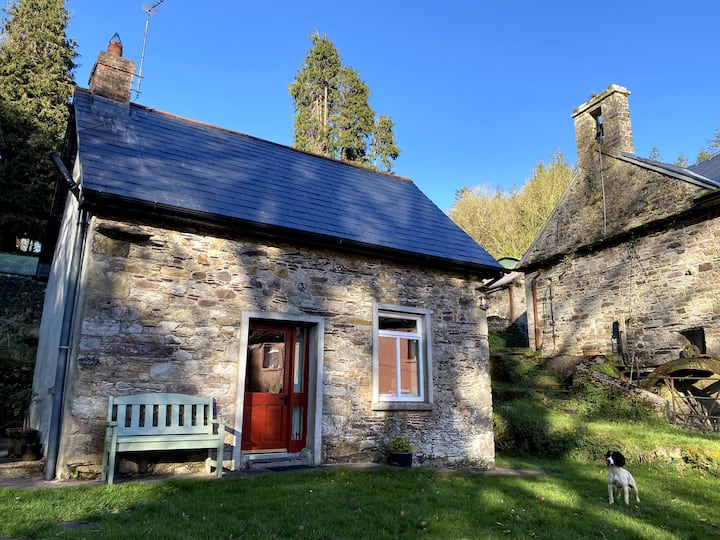 Enclosure in Cappagh (moyarta By.)Enclosure · 1664 yd
 Vandeleur Walled GardenHeritage attraction · 1.1 mi
 Enclosure in Breaghva (clooncoorha Ed)Enclosure · 1.5 mi
 Mall PointHeadland · 1.9 mi
 Castle (in Ruins)Castle, unclassified · 2.2 mi
 Scattery Island Visitor CentreVisitor information · 2.2 mi
 Cusheen PointHeadland · 2.2 mi
 FortCastle · 2.8 mi