What is recorded here
Knockuregare holds a twenty-metre earthen ring where a scarp and fosse still cut the pasture, marking a boundary human hands drew before memory faded. The earth has not forgotten the shape, though grass and trees have swallowed the edges. You can walk the circle and feel the weight of that old decision, a small fort built to keep something out or hold something dear.
In pasture, 61m W of townland boundary with Ballingayrour, an enclosure (LI030-195----) lies 406m to NE. Depicted on the 1840 ed. OSi 6-inch map as circular shaped area enclosed by a bank. Shown on the 1897 ed. Osi 25-inch map as a raised circular-shaped area (diam. c. 22m) defined by a scarp and external fosse from SW-W-NW. Monument visible as circular-shaped area enclosed by tree lined bank from N-E and S-W-N on OSi orthophotograph taken between 2005-12. Traces of an external fosse from S-W visible on Google Earth orthoimage dated 28/06/2018.
See attached Google Earth orthoimages.
Compiled by: Fiona Rooney
Date of upload: 15 April 2021
The monument record does not grant public access. Check the route and ask the landowner before entering private land.
- What survives
- Recorded monument
Places near here
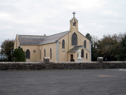 Catholic Church of the Holy Trinitychurch/chapel · 917 yd
 Cremation pit in BallingayrourCremation pit · 1174 yd
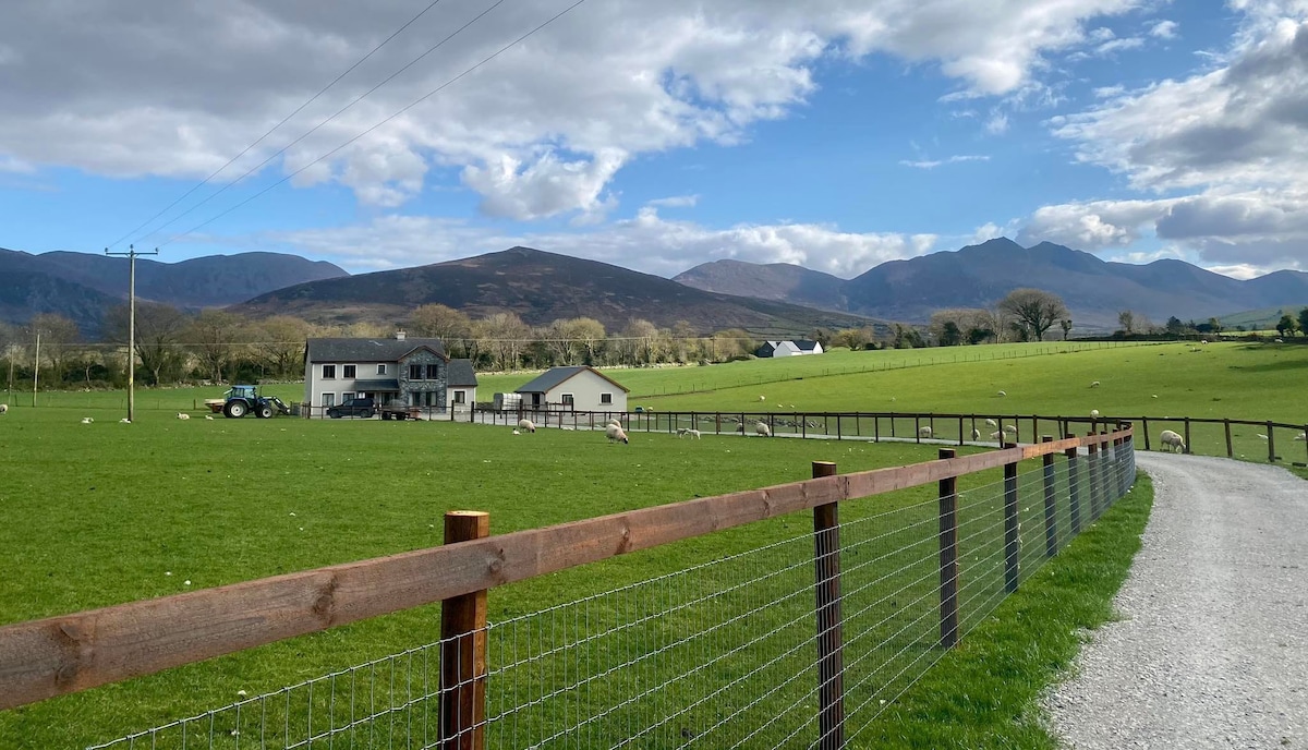 Enclosure in BallingayrourEnclosure · 1271 yd
 post boxpost box · 1280 yd
 Bawn in MaidstownBawn · 1.7 mi
 Ballygrennan Castle (in ruins)Castle, tower house · 2.0 mi
 King John's CastleCastle · 3.3 mi
 KnockainyMountain / peak · 4.7 mi
 Lough GurVisitor information · 4.7 mi
 Flat cemetery in Knockainy WestFlat cemetery · 5.3 mi
 Pedunculate OakPedunculate Oak · 5.5 mi
 Ballinvreena LoopVisitor information · 7.1 mi