
What is recorded here
In pasture 130m E of a stream that marks the townland boundary with Knockuregare. Enclosure (LI039-120----) lies 100m to NE. Not depicted on OSi historic mapping. Identified as BGE 3/77/8 in 2002 by Ken Wiggins (Licence 02E0119) during topsoil-stripping on the Bord Gáis Éireann Pipeline to the West. Excavated in 2002 by Brian Halpin under licence No. 02E0396 the results of which were summarised as follows; ‘A series of fourteen charcoal-rich features identified as Bronze Age cremation pits was revealed during topsoil-stripping. This site was 12.2m east of BGE 3/77/9 and 9m west of BGE 3/77/7. There were two areas of interest adjacent to each other. The first contained eleven features, and the second, 2.8m to the east, contained three further features of almost identical size and content. The pits ranged in size from 0.24m to 0.56m, and all were circular, steep sided, U-shaped and cut into the yellow/orange boulder-clay subsoil. A charcoal-rich fill, containing inclusions of varying amounts of burnt bone, characterised the content of the cremation pits. Most of the bone had been bleached white during the cremation process and was in minute fragments, with the few larger pieces measuring no more than 0.02m. Worked lithics, most probably votive offerings, were recovered from a number of the pits. Feature 9 contained a chert end scraper; Feature 14 contained a piece of worked chert; Feature 5 contained a chert, barbed and tanged arrowhead and a flint, leaf-shaped arrowhead. Although a number of the features contained offerings, most did not. The site can be described as an area of Bronze Age ritual deposition in a landscape rich in Bronze Age sites (Halpin 2004, 297)’. Monument has been fully excavated and is not visible on aerial images.
Compiled by: Martin Fitzpatrick
Date of upload: 19 May 2021
The monument record does not grant public access. Check the route and ask the landowner before entering private land.
- What survives
- Recorded monument
Places near here
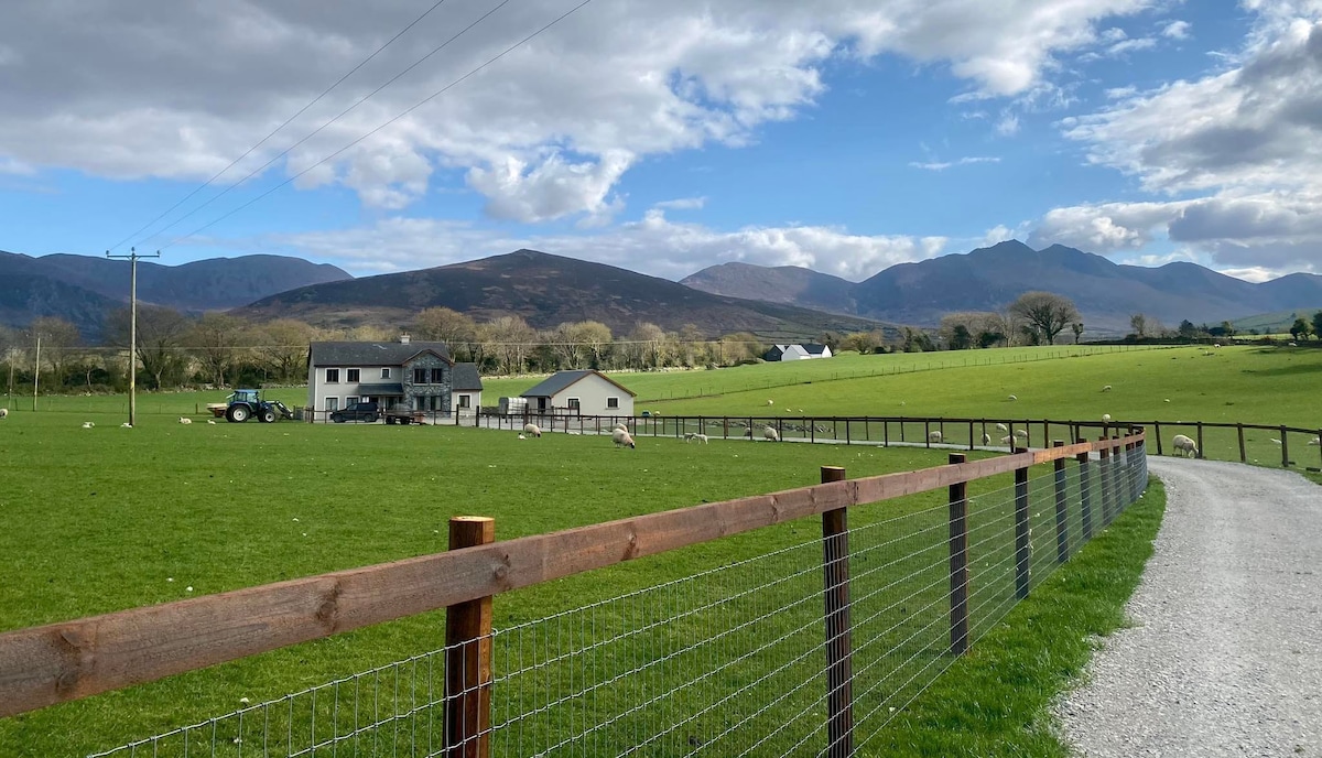 Enclosure in BallingayrourEnclosure · 128 yd
 ExcavationExcavation, miscellaneous · 594 yd
 post boxpost box · 1395 yd
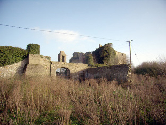 Greenpark Housecountry house · 1694 yd
 Castle (in ruins)Castle, unclassified · 1.5 mi
 Ballygrennan Castle (in ruins)Castle, tower house · 1.5 mi
 Lough GurVisitor information · 4.1 mi
 Grange Stone CircleArchaeological place · 4.1 mi
 KnockainyMountain / peak · 4.3 mi
 Flat cemetery in Knockainy WestFlat cemetery · 5.0 mi
 St Patrick's WellSpring · 7.3 mi
 Ballinvreena LoopVisitor information · 7.4 mi
Other information
Photo: Credit not shown in the picture search · Rights wording not checked; contact us if this picture should be removed