What is recorded here
Knockshanawee holds a forty-one metre ring where steep scarps and earthen banks still divide the south-facing slope. Furze chokes the interior and line of the levelled bank, hiding the boundary beneath green fire. The field fence has swallowed part of the ancient wall, turning a defensive perimeter into an ordinary pasture edge. What was built to keep something out has become a place where forgetting enters freely.
In pasture, on S-facing slope. Roughly circular area (41m NW-SE) enclosed by steep scarp (H 2m) SE->W; earthen bank (int. H 0.65m; ext. H 1.6m) W->NE. Bank incorporated into field fence system NNW->NE. Growth of furze bushes roughly on line of levelled bank encloses interior on E side. Scarp face and edge of interior also heavily overgrown with furze. Fosse (D 0.8m) survives for short section to NE where field fence joins bank. Interior raised on S and W sides to compensate for hillslope.
The above description is derived from the published 'Archaeological Inventory of County Cork. Volume 3: Mid Cork' (Dublin: Stationery Office, 1997). In certain instances the entries have been revised and updated in the light of recent research.
Date of upload/revision: 14 January 2009
The monument record does not grant public access. Check the route and ask the landowner before entering private land.
- What survives
- Recorded monument
Places near here
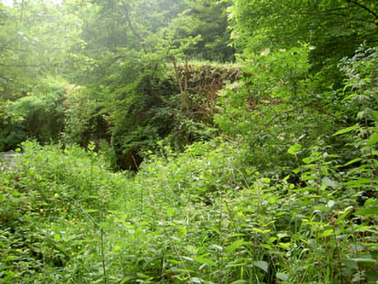 Rye Court Bridgebridge · 643 yd
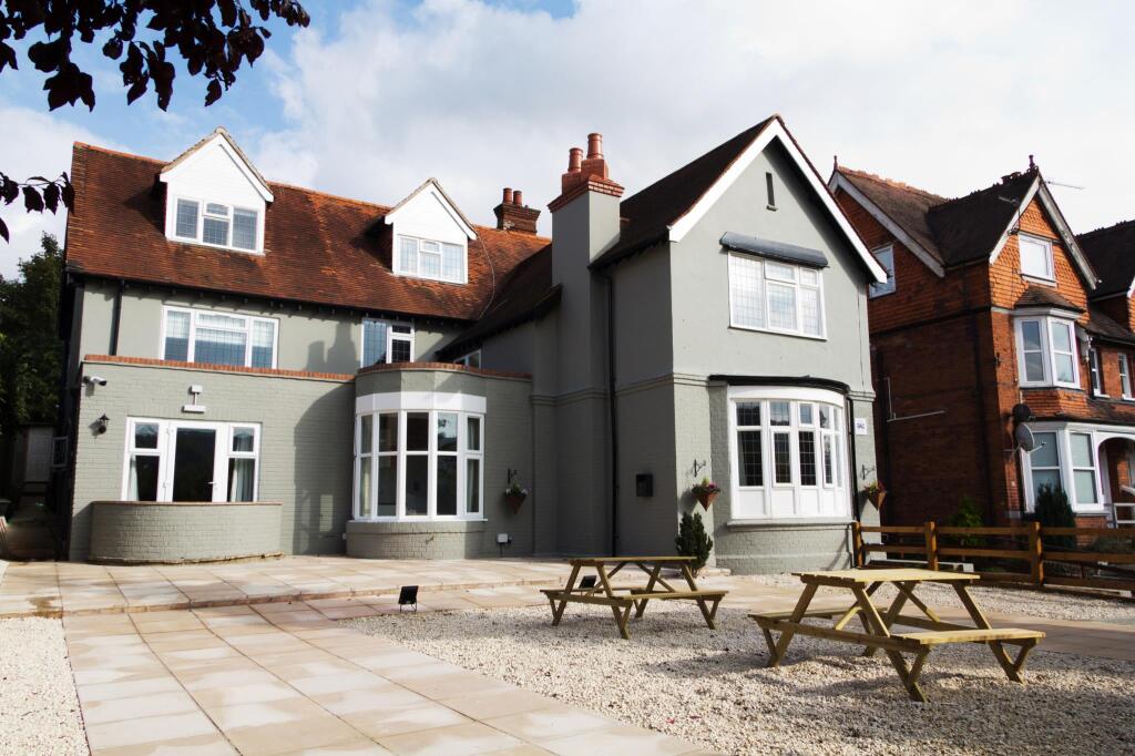 Rye Court (in Ruins)Country house · 713 yd
 Pedunculate OakPedunculate Oak · 832 yd
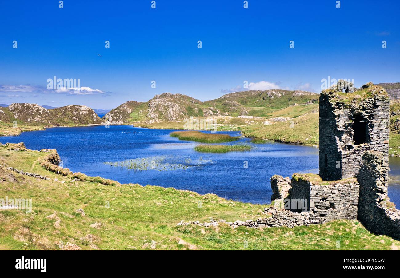 Fulacht FianFulacht fia · 1024 yd
 Castlemore CastleCastle · 1683 yd
 Fulachta FiadhFulacht fia · 1.0 mi
 Sunday's WellSpring · 1.6 mi
 Old Mansion HoCastle, Anglo-Norman masonry castle · 2.3 mi
 Quarry WoodWood · 3.2 mi
 Carrigadrohid CastleHeritage attraction · 3.6 mi
 Carrigadrohid Castle InfoVisitor information · 3.6 mi
 Independence MuseumMuseum · 4.0 mi