What is recorded here
Knockroe holds a vanished ringfort where heavy traffic or eager ploughs erased the bank and ditch recorded in 2007. The fairies keep their fort in local naming while human hands return the ground to pasture. Derk Hill still stands nearby, but the small circular dwelling has joined the many Irish landmarks that disappear after being measured.
In reclaimed pasture 1.7km W of the summit of Derk Hill (OD 781 ft.). Possible barrow (LI033-017----) 150m to SW. Surveyed by the ASI in 2007 and described as a circular-shaped area (diam. 25m) enclosed by a bank (Wth 3.7m; int. H 0.3m; ext. H 0.1m) and outer fosse (Wth 3.45m; D 0.3m) visible from NW-SSW. Oblique aerial photograph (CUCAP APD003) taken 14/07/1966 shows well preserved remains of upstanding monument which is now levelled, with ringfort (LI033-017----) 140m to SW. Outline of levelled monument visible as a circular-shaped cropmark on OSi orthophoto taken between 2005-12 and on Google Earth orthoimage dated 20/09/2020 where fosse is visible from N-E-SW.
See attached CUCAP aerial and Google Earth orthoimages
Compiled by: Martin Fitzpatrick
Date of upload: 3 April 2021
The monument record does not grant public access. Check the route and ask the landowner before entering private land.
- What survives
- Recorded monument
Places near here
 BarrowBarrow, pond barrow · 374 yd
 Enclosure in Knockroe (coonagh By.)Enclosure · 455 yd
 Carrickittle RockCastle, unclassified · 981 yd
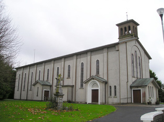 Catholic Church of Saint Patrick and Saint Brigidchurch/chapel · 1313 yd
 R.C. ChapelChurch · 1403 yd
 St. Patrick's WellSpring · 1454 yd
 Kilteely HillMountain / peak · 1701 yd
 CashlanCastle, unclassified · 1.6 mi
 KnockseefinMountain / peak · 2.7 mi
 Flat cemetery in Knockainy WestFlat cemetery · 4.8 mi
 St Patrick's WellSpring · 6.6 mi
 Ballinvreena LoopVisitor information · 9.5 mi