What is recorded here
Knocknaraha holds a broken earthen ring on a ridge summit, watching the river below through two narrow gaps cut into its southern bank. The structure measures twenty-two metres across and still stands half a metre high where pasture grass presses against its curve. People may have lived inside the flat interior or kept animals within the enclosure, using the rising ground to see danger arriving from several directions at once. The missing western section suggests the ring changed before humans stopped caring whether it remained whole.
In pasture on a slight rise on the summit of a ridge aligned ENE-WSW with good views, c. 60m S of the Knocknaraha River. Hachured on the 1840 and 1916 OS 6-inch maps. Listed as 'Enclosure' in the RMP (1996). A rath (19.5m N-S; 22m WNW-ESE) defined by an earthen bank surviving from E to N (Wth 2m; ext. H 0.35m; int. H 0.2m). Two gaps (Wth <1m) cut through the bank at S and SW. The interior is flat and slopes gently down to E. A field boundary runs ENE-WSW across the N portion of the monument.
Compiled by: Mary Tunney and Eve Campbell
Date of upload: 10 July 2023
A fairy fort or earthen ringfort in Knocknaraha, likely dating to the early medieval period, is situated on a ridge with extensive views and was mapped as an enclosure in the 19th and early 20th centuries. Local tradition associates such sites with fairy activity, reflecting their enduring place in Irish folklore.
The monument record does not grant public access. Check the route and ask the landowner before entering private land.
- What survives
- Recorded monument
Places near here
 Enclosure in Rannagh (killaspuglonane Ed)Enclosure · 361 yd
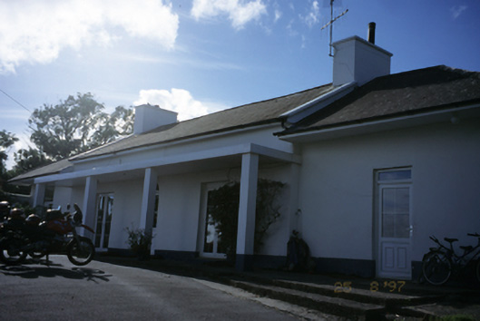 Sandfield Lodgehouse · 448 yd
 LisfurnelFairy fort / earthen ringfort · 448 yd
 Church in KillaspuglonaneChurch · 1541 yd
 Dough CastleRuins · 1.0 mi
 Lahinch BeachBeach / strand · 1.5 mi
 John P. Holland CentreMuseum · 1.8 mi
 Liscannor Castle (in Ruins)Castle, tower house · 2.0 mi
 Kilmanahn GraveyardRuins · 2.2 mi
 Bridget's Well;St Bridget's WellSpring · 2.4 mi
 Famine MemorialMemorial · 2.5 mi
 Cliffs of Moher Visitor CentreVisitor information · 2.7 mi