What is recorded here
Knocknaraha holds a sixty-metre circular rath built with two banks and a deep fosse, proving that human hands shaped the ridge before modern farms arrived. The structure sits high above marshy pasture with panoramic views, while a house site occupies its rush-covered centre. People may have lived there, watched the horizon or tended land, but the earth has swallowed most of that life. The remaining banks still mark the boundary between human intention and natural forgetting.
In marshy pasture on the summit of a ridge aligned WSW-ENE with panoramic views, flanked by a modern farm road to the N. Hachured on the 1840 and 1916 OS 6-inch maps. Listed as 'Enclosure' in the RMP (1996). A bivallate circular rath (max. ext. diam. c. 60m) defined by a bank, a fosse and an outer bank. The bank (int. H 0.2–0.9m; ext. H 1.4–1.6m; Wth 5m) is composed of stone and earth with traces of stone facing along its interior at E and NW, and is concealed by gorse at E, SW, and W. The fosse is flat-bottomed (Wth at base c. 2.2m; Wth at top c. 8m; ext. D 0.25m) and has been reduced to field level at NW. The outer bank (Wth 3.1m; H 0.1m) is traceable at SW and NNW; it is surmounted by a field boundary at N and is concealed by vegetation at E. A slight lowering of the inner bank (Wth 2.9m) at SSW correlating with a causeway across the fosse may represent an original entrance. The interior of the monument undulates gently and is covered in rushes. A house site (CL015-044002-) is located in the centre of the rath.
Compiled by: Mary Tunney and Eve Campbell
Date of upload: 10 July 2023
A fairy fort / earthen ringfort in Knocknaraha is a bivallate ringfort, likely dating to the early medieval period, used as a defensive or agricultural settlement. It is associated with local folklore referring to it as a "fairy fort," suggesting a belief in its otherworldly or supernatural significance.
The monument record does not grant public access. Check the route and ask the landowner before entering private land.
- What survives
- Recorded monument
Places near here
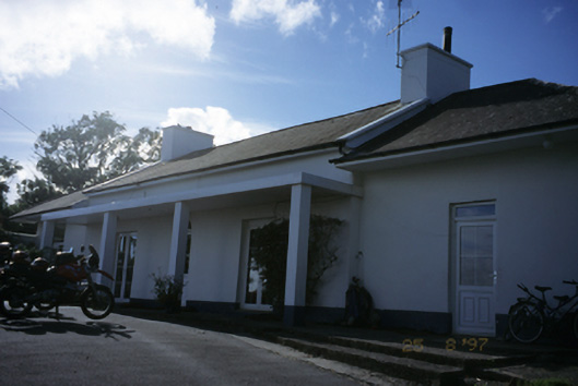 Sandfield Lodgehouse · 174 yd
 LisfurnelFairy fort / earthen ringfort · 802 yd
 Enclosure in Rannagh (killaspuglonane Ed)Enclosure · 804 yd
 O'Brien's Bridgebridge · 1443 yd
 Dough CastleRuins · 1698 yd
 Lahinch BeachBeach / strand · 1.3 mi
 John P. Holland CentreMuseum · 1.6 mi
 Liscannor Castle (in Ruins)Castle, tower house · 1.7 mi
 Kilmanahn GraveyardRuins · 2.3 mi
 Bridget's Well;St Bridget's WellSpring · 2.3 mi
 Famine MemorialMemorial · 2.5 mi
 Cliffs of Moher Visitor CentreVisitor information · 2.7 mi