What is recorded here
In fallow arable land, on N-facing slope, in NW corner of field. Roughly circular area (dims. 22m N-S; 24m E-W) defined by earthen bank (Wth 9.5m; int. H 0.7m; ext. H 1.05m). External fosse (Wth 7.5m; D 0.3m) is low profile NE-E-SSW due to ploughing and is best preserved SSW-W-N-NE, although outer edge is truncated by field boundaries at tangent to W and N. Interior is N-facing and covered in dense undergrowth. Enclosure (TS068-107----) c. 120m to NNW and ringfort (TS068-102----) c. 270m to WNW.
Compiled by: Jean Farrelly
Date of upload: 26 August 2011
The monument record does not grant public access. Check the route and ask the landowner before entering private land.
- What survives
- Recorded monument
Places near here
 Enclosure in KnockgraffonEnclosure · 174 yd
 LisheenEnclosure · 800 yd
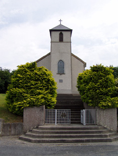 Saint Bartholomew's Catholic Churchchurch/chapel · 891 yd
 Knockgraffon CastleCastle · 1472 yd
 Hymenstown Househouse · 1685 yd
 Knockgraffon MoatCastle, motte and bailey · 1.2 mi
 Caucasian zelkovaCaucasian zelkova · 2.8 mi
 Caher AbbeyHeritage attraction · 3.4 mi
 Cappa WoodWood · 3.5 mi
 Siege of Cahir Castlesiege · 3.7 mi
 Slieveanard NE TopMountain / peak · 3.8 miCahir CastleHeritage attraction · 3.8 mi