What is recorded here
Situated on a level low-lying landscape. The faint cropmark of a circular feature (diam. c. 30m) is visible on aerial photographs (MM (11) 26-8) from c. 1990, but it was very uncertain. In July 2018 a drone-mounted camera operated by Páid Bates (Skypix Aerial Works) captured a perfect image of a D-shaped enclosure (dims c. 35m NE-SW; c. 30m NW-SE) defined by a single fosse feature with the straight side at SE and a possible entrance gap at NW. Rath (WX032-045001-) is immediately to the SW on the other side of an E-W field bank, now removed but the drains on either side are visible.
The above description is derived from the published 'Archaeological Inventory of County Wexford' (Dublin: Stationery Office, 1996). In certain instances the entries have been revised and updated in the light of recent research.
See the attached aerial view (front) taken from N courtesy of Skypix Aerial Works
Compiled by: Michael Moore
Date of revision: 1 January, 2019
The monument record does not grant public access. Check the route and ask the landowner before entering private land.
- What survives
- Recorded monument
Places near here
 Embanked enlosureFairy fort / earthen ringfort · 1065 yd
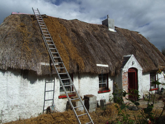 farm housefarm house · 1284 yd
 (site of) St. Davids ChurchChurch · 1528 yd
 Embanked enclosureCastle, motte · 1.1 mi
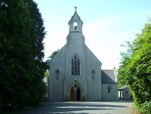 Saint David's Catholic Churchchurch/chapel · 1.2 mi
 Eden ValeWood · 2.1 mi
 Peace GardenMemorial · 3.2 mi
 Ballywish SouthForest · 3.3 mi
 Celebrating 125 YearsMemorial · 3.6 mi
 (site of) Polehore CastleCastle, unclassified · 3.9 mi
 Wexford Wildfowl ReserveHeritage attraction · 5.3 mi
 The Collins-Grant GalleryGallery · 5.4 mi