What is recorded here
Knockballystine holds a much-degraded earthen ringfort nearly fifty-five metres wide, marked on a 1908 map and buried beneath centuries of forgetting. The fairy fort name suggests people once believed the site belonged to unseen beings rather than humans, yet an irregular uncultivated area still resists the plough. Perhaps it marked a boundary between the living village and the old world, where the soil itself remembered what the people chose to lose.
The following description is derived from the published 'Archaeological Inventory of County Carlow' (Dublin: Stationery Office, 1993). In certain instances the entries have been revised and updated in the light of recent research.
Date of upload/revision: 17 July 2007
Marked on 1908 'OS 6-inch' map (max. diam. c. 55m). Irregularly shaped uncultivated area, delimited by scarp representing much-degraded ringfort.
A fairy fort in Knockballystine is an earthen ringfort, likely dating to the early medieval period, commonly associated with both ancient habitation and later folklore surrounding fairies and other supernatural beings. Such sites were often believed to be portals to the Otherworld in Irish tradition.
The monument record does not grant public access. Check the route and ask the landowner before entering private land.
- What survives
- Recorded monument
Places near here
 Enclosure in Raheen (rathvilly By., Clonmore Ed)Enclosure · 777 yd
 Knockallow RathFairy fort / earthen ringfort · 964 yd
 Church (in ruins), GraveyardChurch · 1.1 mi
 Saint Mary's Catholic Churchchurch/chapel · 1.2 mi
 Site of CastleCastle, unclassified · 1.6 mi
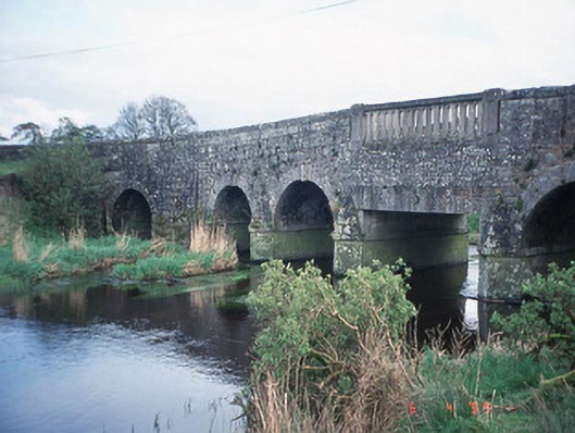 Acaun Bridgebridge · 1.7 mi
 Acaun Church (in ruins), GraveyardChurch · 1.8 mi
 CastleCastle, unclassified · 1.9 mi
 Rath WoodForest · 3.0 mi
 Eagle HillMountain / peak · 3.5 mi
 European ashEuropean ash · 4.0 mi
 Ballynultagh HillMountain / peak · 5.5 mi