What is recorded here
On NW-facing slope, in pasture, with excellent views from SW-W-N-NE. Surveyed by the ASI in 2008 and described as a circular-shaped area (27m E-W; 25m N-S) enclosed by a bank (Wth 5.15m; int. H 0.45m; ext. H 1.65m) visible from W-N and reduced to a scarp (H H 0.65m) from N-NNE-NE, with external fosse (Wth 6.9m; D 1.3m) is visible from E-S-WSW. The monument is cut into the upslope on S side and raised on N side to compensate for hillslope. The interior has a gentle NW-facing slope. Monument is visible as a circular-shaped tree-lined earthwork on ASI aerial photogrpahs (ASIAP 133, 1; 353, 3) taken 23/08/2000 and 05/01/2003. Visible on Google Earth orthoimages taken 28/06/2018.
See attached sketch plan and cross-sections surveyed and drawn by the ASI.
See attached Google Earth orthoimages
Compiled by: Alison McQueen and Vera Rahilly
Date of upload: 19 July 2020
The monument record does not grant public access. Check the route and ask the landowner before entering private land.
- What survives
- Recorded monument
Places near here
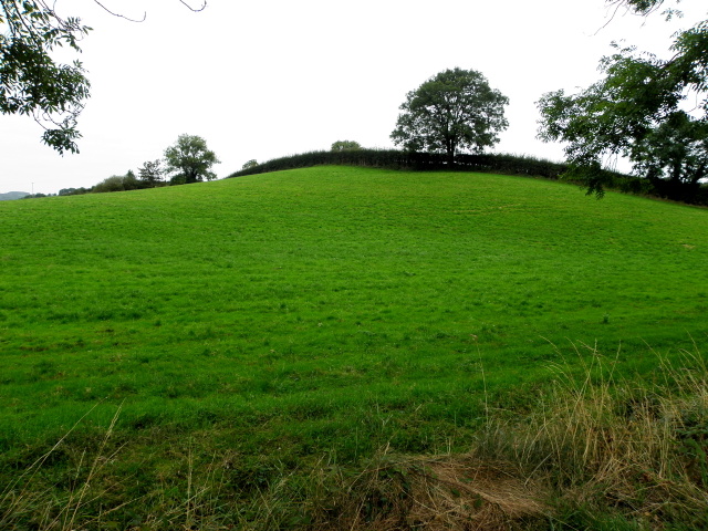 BarrowBarrow, ditch barrow · 910 yd
 Enclosure in KnockderkEnclosure · 1022 yd
 (Site of) CastleCastle, unclassified · 1312 yd
 Pallas MoatCastle, motte · 1325 yd
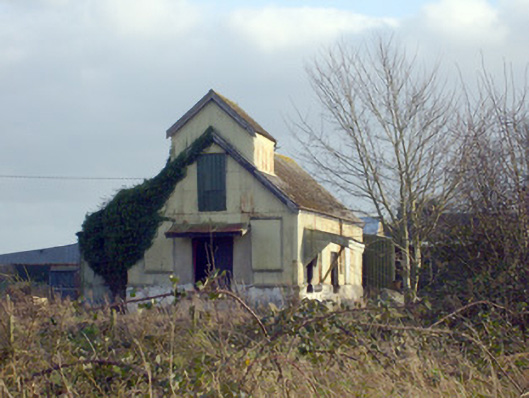 Race Creamerycreamery · 1510 yd
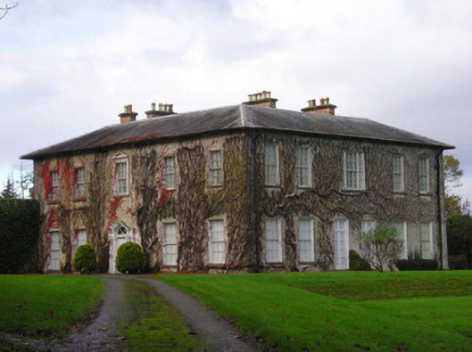 Derkcountry house · 1.2 mi
 St. Patrick's WellSpring · 1.6 mi
 KnockseefinMountain / peak · 1.7 mi
 Kilteely HillMountain / peak · 1.9 mi
 ToberagaddySpring · 2.4 mi
 Flat cemetery in Knockainy WestFlat cemetery · 5.8 mi
 Ballinvreena LoopVisitor information · 10 mi