What is recorded here
Situated on a slight rise in undulating countryside with good views in all directions with three nearby ringforts (OF008-031/032/035) to the N. Barely discernible outline of a univallate ringfort (38m N-S; 37m E-W) which had an enclosing bank and external fosse which according to local information was levelled in 1989.
The above description is derived from the published 'Archaeological Inventory of County Offaly' (Dublin: Stationery Office, 1997). In certain instances the entries have been revised and updated in the light of recent research.
Date of upload: 23 May 2011
The monument record does not grant public access. Check the route and ask the landowner before entering private land.
- What survives
- Recorded monument
Places near here
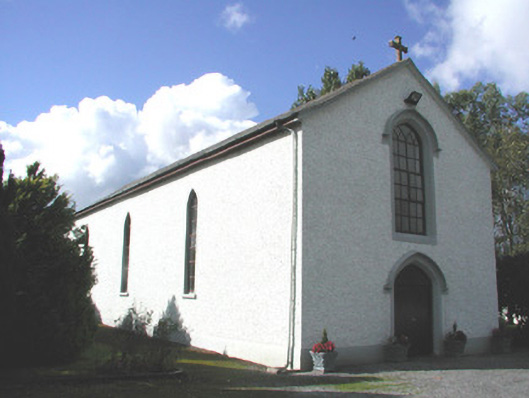 Saint Patrick's Catholic Churchchurch/chapel · 96 yd
 Enclosure in BallybruncullinEnclosure · 242 yd
 IndicatedFairy fort / earthen ringfort · 313 yd
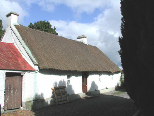 farm housefarm house · 686 yd
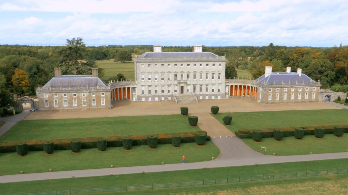 Bawn in Castletown (ballycowan By.)Bawn · 933 yd
 Inchaloon IslandIslet · 1.5 mi
 Clara Bog BoardwalkHeritage attraction · 1.7 mi
 Castle ArmstrongHouse, fortified house · 2.9 mi
 HawthornHawthorn · 3.0 mi
 European YewEuropean Yew · 3.1 mi
 ToberaskeenSpring · 3.4 mi
 Trumpet HillMountain / peak · 3.5 mi