What is recorded here
Double banks and a cutting ditch still mark the oval in Kilpaddoge, thirty-nine metres across east to west and twenty-six north to south. A five-metre gap at the south east invites entry past the inner ridge, which rises as much as one metre seventy above the floor. In the western corner a small stone mound sits where the landowner believes a hidden passage descends, giving the ordinary rath a fairy-fort whisper.
Internal diameter 26m N-S, 39m E-W
This bivallate rath lies NE of KE003-009----. It consists of an oval inner area enclosed by a well-defined inner bank, fosse and barely distinguishable outer bank. The exterior height of the outer bank measures .5m and .5m above the fosse which is 2m in width. The exterior height of the inner bank varies .4m-1.7m above the fosse and on average 1.1m above the interior. A c 5m wide gap to the SE provides access to the interior. In the W sector of the interior there is a small mound of stones c 2m x 2m which, according to the landowner, covers a Man-made underground passage (KE003-010001-).
The above description is derived from C. Toal, ‘North Kerry Archaeological Survey’. Dingle. Brandon in association with FAS Training and Employment Authority (1995), no. 188. In certain instances the entries have been revised and updated in the light of recent research.
Date of upload: 2 August 2013
The monument record does not grant public access. Check the route and ask the landowner before entering private land.
- What survives
- Recorded monument
Places near here
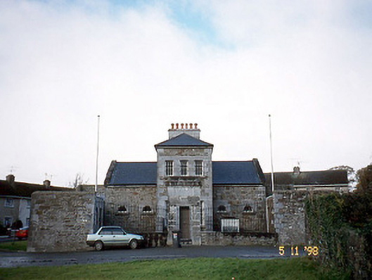 Tarbert Courthousecourt house · 1458 yd
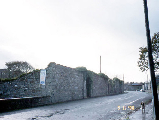 creamerycreamery · 1515 yd
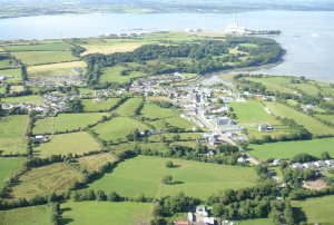 Hachured, Massys HillBastioned fort · 1.3 mi
 Fulacht fia in CarhoonaFulacht fia · 1.3 mi
 Tarbet BayBay · 1.6 mi
 Tarmon Castle (in ruins)Castle, unclassified · 2.4 mi
 Labasheeda Fort (19th Century)Castle · 3.0 mi
 Ballymacrinan BayBay · 3.2 mi
 St Senan's WellSpring · 4.0 mi
 Siege of Carrigafoyle Castlesiege · 4.2 mi
 Carrig IslandIsland · 4.3 mi
 Crag WoodWood · 5.3 mi