What is recorded here
Fairy fort / earthen ringfort in Kilnamanagh is a fairy fort or earthen ringfort in Kilnamanagh, County Sligo, Ireland. The earth and stone bank encloses an eighteen and a half metre circular area on a south-facing slope overlooking the Owenmore River. A possible entrance appears at the southeast, while the interior slopes downward to include a separate hut site. Field boundaries marked east and south of the rath on the 1913 map have since disappeared.
In pasture, on a S-facing slope overlooking the Owenmore River to S. A circular area (int. diam. 18.5m) enclosed by an earth and stone bank (Wth 2.5m; int. H 1m; ext. H 0.2m). A possible entrance is at SE. The interior slopes down to S and there is a hut site (SL026-019001-) within it. Field boundaries indicated on the 1913 OS 6-inch map to E and S of the rath have been removed.
The above description is derived from the published 'Archaeological Inventory of County Sligo' compiled by Ursula Egan, Elizabeth Byrne, Mary Sleeman with Sheila Ronan and Connie Murphy (Dublin Stationery Office, 2005).
Date of upload: 18 January 2008
The monument record does not grant public access. Check the route and ask the landowner before entering private land.
- What survives
- Recorded monument
Places near here
 Enclosure in Knockbeg WestEnclosure · 261 yd
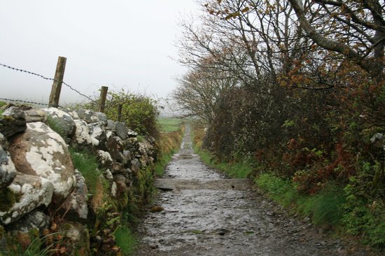 Indicated (1838).Enclosure · 611 yd
 Church (in Ruins)Church · 662 yd
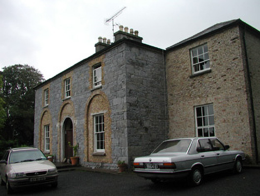 Glebe Houserectory/glebe/vicarage/curate's house · 1495 yd
 BunreecoillMountain / peak · 1.0 mi
 Castle (Site of)Castle, unclassified · 1.2 mi
 Teeling MonumentMemorial · 1.3 mi
 Battle of Collooneybattle · 1.3 mi
 SlievewardMountain / peak · 1.3 mi
 European ashEuropean ash · 1.9 mi
 Moymlough Castle (in Ruins)Castle, tower house · 2.0 mi
 Union RockForest · 2.3 mi