What is recorded here
Situated on a slight rise on the floor of Glenfarne valley. This is a grass and reed-covered circular area (int. diam. 24m E-W; 23m N-S) defined by an intermittently visible earthen bank (Wth 2m; max. H 0.3m) which is separated by a fosse (Wth at base 1.82m; D 0.2m) from an outer bank (Wth 3.7m; ext. H 0.9m). There is an entrance (Wth 5m) through both banks, and a causeway, at SE.
The above description is derived from 'The Archaeological Inventory of County Leitrim' compiled by Michael J. Moore (Dublin: Stationery Office, 2003). In certain instances the entries have been revised and updated in the light of recent research.
Date of upload: 23 September 2008
The monument record does not grant public access. Check the route and ask the landowner before entering private land.
- What survives
- Recorded monument
Places near here
 Grave YardChurch · 1007 yd
 Saint Michael's Catholic Churchgates/railings/walls · 1010 yd
 Ecclesiastical enclosure in KilmakerrillEcclesiastical enclosure · 1014 yd
 IndicatedSweathouse · 1572 yd
 Ballaghnabehy TopMountain / peak · 1.9 mi
 Dough MountainMountain / peak · 2.6 mi
 The Giants GraveArchaeological place · 3.3 mi
 Giants RockNamed rock · 4.5 mi
 Lough MacNean WalkWalking route · 4.6 mi
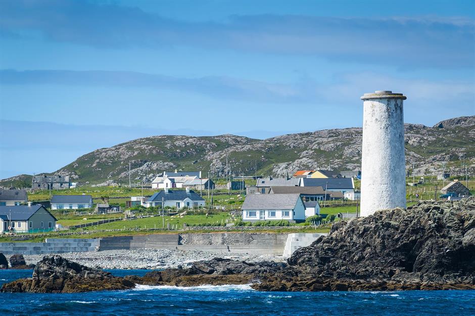 Bilberry IslandIslet · 4.7 mi
 Saint Patrick's IslandIslet · 4.7 mi
 Kilroosk RockNamed rock · 5.0 mi