What is recorded here
Fairy fort / earthen ringfort in Kilmacteige is a fairy fort or earthen ringfort in Kilmacteige, County Sligo, Ireland. It occupies the lower south-facing slopes of the Ox Mountains as a roughly circular earthwork about thirty metres across. Earthen banks and a wide fosse surround the level interior, while an outer stone-faced bank appears along the south and east. Bushes and briars now cover most of the site, and a farm house touches the north-west edge.
On the lower S-facing slopes of the Ox Mountains. A slightly raised roughly circular area (diam. c. 30m) defined by earthen bank (Wth 3m; int. H 0.5m; ext. H 1.7m) along the W, N and E arcs. An intervening fosse (Wth 7m) is evident all round. An outer earthen bank (Wth 4m; ext. H 1.4m) is visible along the S and E arcs, stone-faced in parts. A farm house and outbuilding encroach on the NW and N edges. The rath is densely overgrown with bushes and briars. The interior is level but mainly inaccessible due to overgrowth. There is a possible Man-made underground passage (SL036-016002-) in the interior.
The above description is derived from the published 'Archaeological Inventory of County Sligo' compiled by Ursula Egan, Elizabeth Byrne, Mary Sleeman with Sheila Ronan and Connie Murphy (Dublin Stationery Office, 2005).
Date of upload: 18 January 2008
The monument record does not grant public access. Check the route and ask the landowner before entering private land.
- What survives
- Recorded monument
Places near here
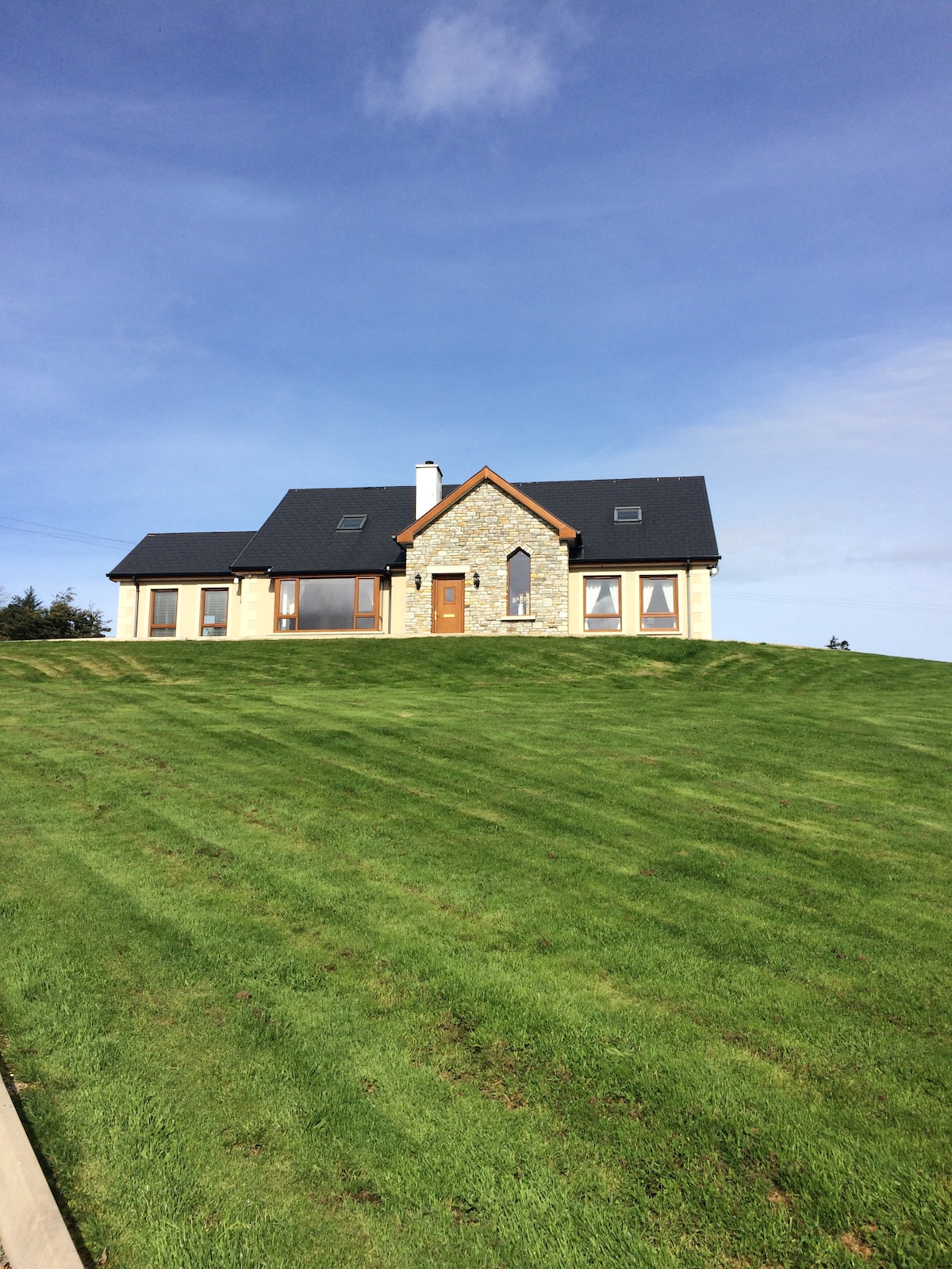 CashelmoreFairy fort / stone ringfort · 382 yd
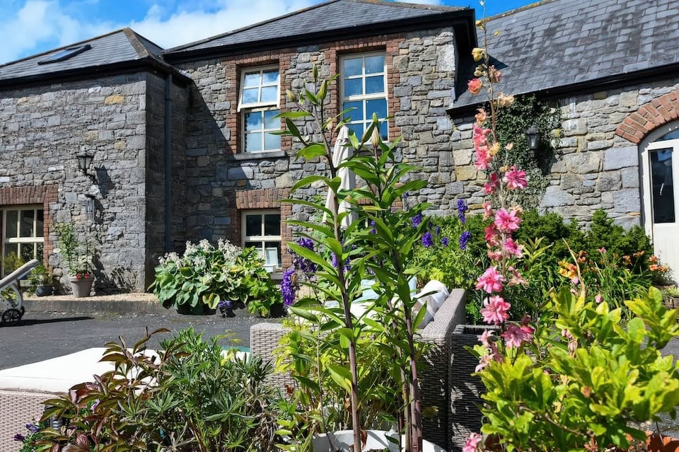 CashelbawnFairy fort / stone ringfort · 556 yd
 Church in KilmacteigeChurch · 840 yd
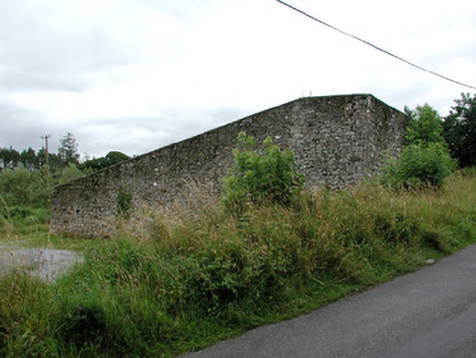 handball alleyhandball alley · 902 yd
 Castle (in Ruins)Castle, tower house · 1276 yd
 KnockasliggaunMountain / peak · 3.2 mi
 Castle Carragh in RuinsCastle, unclassified · 3.5 mi
 Lough Talt TrailVisitor information · 3.6 mi
 Largan HillMountain / peak · 4.3 mi
 Carrick WoodWood · 4.7 mi
 HawthornHawthorn · 5.1 mi
 Hennigan's Heritage CentreHeritage attraction · 5.2 mi