What is recorded here
Kilmacar’s earthen ringfort sits on a slight east-west slope beside the Nore valley, enclosing a circular grassland space twenty-nine metres across. Its low bank, wider than it is tall, still marks a boundary made for people, while the southern entrance faces the open land rather than hiding in shadow. The name fairy fort may be local story, but the shape is human: a small defensible place built to watch the valley, not to pretend the valley does not exist.
On a slight E-W slope just below the crest of hills on the W side of the Nore river valley, in rolling grassland. There are excellent views to N, S and W across and along the valley. A circular area (int. diam. 29m) enclosed by a low earthen bank (Wth 2.5m; int. H 0.2-0.3m; ext. H c. 1m) with slight traces of an external fosse. The interior slopes slightly to the W. There is an entrance (Wth 1.5m) at S.
Compiled by: Jean Farrelly
Date of upload: 4 December 2018
The monument record does not grant public access. Check the route and ask the landowner before entering private land.
- What survives
- Recorded monument
Places near here
 Kilmacar Ringfort (rath)Archaeological place · 4 yd
 Site of CastleCastle, unclassified · 1147 yd
 Grave YdGraveyard · 1200 yd
 Kilmacar Church (in ruins)Church · 1203 yd
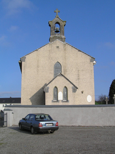 Saint Colman's Catholic Churchchurch/chapel · 1527 yd
 CastleCastle, unclassified · 1694 yd
 Donaghmore WellSpring · 1.3 mi
 Graveyard in SraleaghGraveyard · 2.5 mi
 Jenkinstown ParkForest · 3.3 mi
 Anker's IslandIsland · 4.0 mi
 Graveyard in ThreecastlesGraveyard · 4.4 mi
 Turkey OakTurkey Oak · 4.6 mi