What is recorded here
Situated on a slight rise, in gently undulating pasture, with reasonable views of the surrounding landscape. Monument described as a roughly circular-shaped area (diam. 34m) enclosed by an inner bank, a fosse and an outer bank. A gap (Wth at top 4.4m; basal Wth 2.3m) in the inner bank at S presumably represents the entrance. The low inner bank is best preserved from E-SE-S and is almost reduced to a scarp from S-W-N-E. The fosse is wide and shallow and is most visible from E-S-SW. There is a very low, wide outer bank from E-S-W. The interior has a slight SE-facing slope and is largely obscured by dense vegetation.
Compiled by Alison McQueen, Vera Rahilly and Caimin O’Brien.
Date of upload: 28 August 2019
The monument record does not grant public access. Check the route and ask the landowner before entering private land.
- What survives
- Recorded monument
Places near here
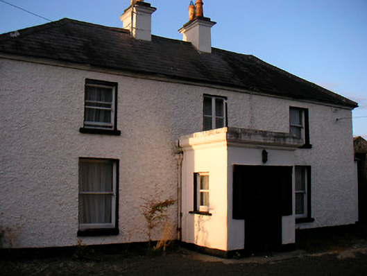 Killaroo Househouse · 523 yd
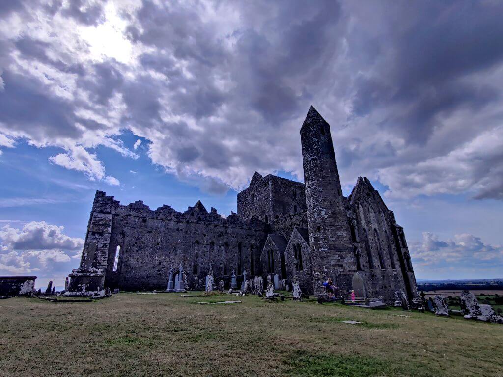 Partially hachuredFairy fort / earthen ringfort · 877 yd
 Stremmingstown CastleCastle · 911 yd
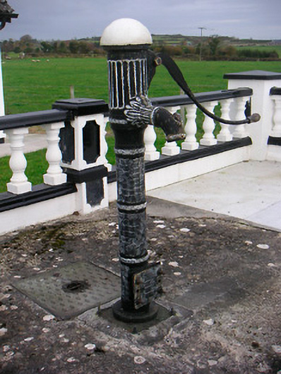 water pumpwater pump · 985 yd
 Partially outlinedEnclosure · 1113 yd
 Killeenbrack CastleCastle · 1.1 mi
 Sam's ParkForest · 1.2 mi
 European ashEuropean ash · 1.7 mi
 Hill of UisneachMountain / peak · 2.0 mi
 KnockastiaMountain / peak · 2.9 mi
 Charles BianconiMemorial · 7.7 mi
 The Bob Traynor GalleryGallery · 7.8 mi