What is recorded here
Situated on the summit of a rocky and scrub-covered hill of rough pasture, with good views of the surrounding landscape. Ringfort (WM024-099----) lies c. 30m to NW. Monument described as a much disturbed, roughly D-shaped area (51.8m NW-SE; 49.8m NE-SW) with straight side at NE, that is enclosed by a bank with no trace of an external fosse. The narrow yet steep bank of earth and stone has several modern disturbance gaps. The bank is much disturbed from SE-S-SW where encroached by later field banks, however the remains of a drystone facing are evident. The original entrance gap is not recognisable. The interior rises gradually from the perimeter towards the centre where there is a house site (WM024-100001-) and the poorly preserved remains of three further house sites adjoining the ringfort bank at N, E and SW.
Compiled by Alison McQueen, Vera Rahilly and Caimin O’Brien.
Date of upload: 21 August 2019
The monument record does not grant public access. Check the route and ask the landowner before entering private land.
- What survives
- Recorded monument
Places near here
 Partially hachuredFairy fort / earthen ringfort · 366 yd
 Killeenbrack CastleCastle · 430 yd
 OutlinedEnclosure · 894 yd
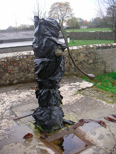 water pumpwater pump · 1382 yd
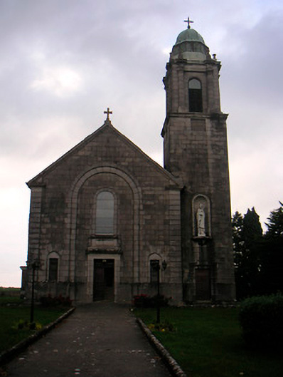 Saint Brigid's Catholic Churchchurch/chapel · 1386 yd
 European ashEuropean ash · 1545 yd
 Bawn in KillarecastleBawn · 1.0 mi
 Sam's ParkForest · 1.2 mi
 Hill of UisneachMountain / peak · 1.6 mi
 KnockastiaMountain / peak · 2.9 mi
 Craft WorkshopHeritage attraction · 7.6 mi
 Guest ServicesVisitor information · 7.6 mi