What is recorded here
King Lios in Killeagh is a triple-banked earthen ringfort, thirty metres across, with a wide six-metre entrance facing the warm south-east. It sits beside a possible early church enclosure, suggesting human layers of prayer, defence and daily life piled on one another. The banks rise a metre or more above the grass, and the inner ground slopes downward like a bowl emptied of its contents. Whatever king or family claimed it has vanished, but the shape remains: a circle drawn in earth, still complete enough to walk around and imagine inside.
In pasture, on SSE-facing slope, abutting possible early ecclesiastical enclosure (CO027-026---) to N. Circular area (30m N-S; 30m E-W) enclosed by inner earthen bank (int. H 1m; ext. H 1m) W->SSW; intervening fosse (D 0.2m); second earthen bank (H 1.2m) W->S, mainly concentric with inner bank but more widely spaced to N and S where banks are up to c. 11m apart; second, shallow, intervening fosse to SE; third earthen bank ESE->S. Entrance (Wth 6m at inner bank) to SSE. Interior slopes down to SE; truncated by townland boundary on SW side. According to local information, known as 'King Lios' (pers. comm. J. Monk).
The above description is derived from the published 'Archaeological Inventory of County Cork. Volume 4: North Cork' (Dublin: Stationery Office, 2000). In certain instances the entries have been revised and updated in the light of recent research.
Date of upload/revision: 14 January 2009
The monument record does not grant public access. Check the route and ask the landowner before entering private land.
- What survives
- Recorded monument
Places near here
 IndicatedEcclesiastical enclosure · 128 yd
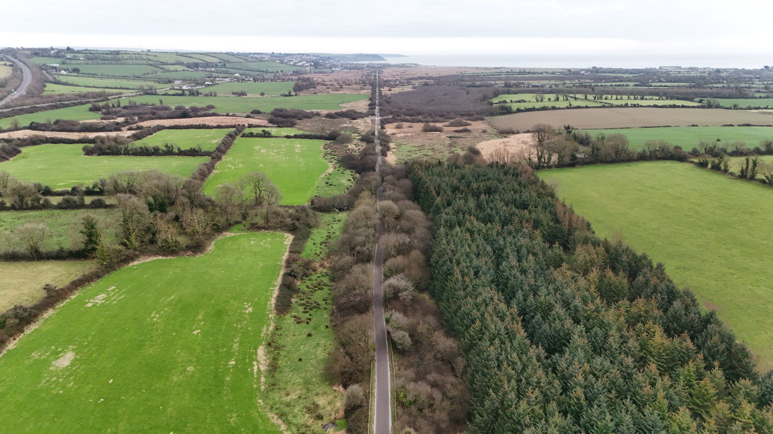 Fulacht fia in Killeagh (fermoy By.)Fulacht fia · 879 yd
 Killleenemer Church (in Ruins)Church · 1608 yd
 Dunmahon Castle (in Ruins)Bawn · 1697 yd
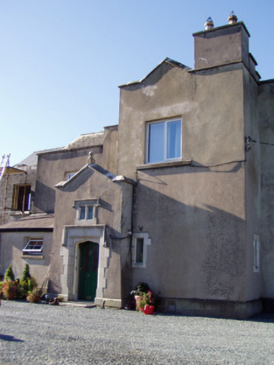 Ballyclogh Housecountry house · 1.0 mi
 Castle (in Ruins)Castle, tower house · 1.2 mi
 St Dominick's WellSpring · 1.8 mi
 Graveyard in BoherashGraveyard · 1.9 mi
 Flat cemetery in Ballyenahan NorthFlat cemetery · 4.4 mi
 Blackwater (Avondhu) WayWalking route · 5.7 mi
 Johnson's WoodForest · 5.9 mi
 Priest's WoodForest · 6.1 mi