What is recorded here
Killavarilly holds a shallow earthen ring, barely visible above pasture grass, yet marked as a Danish Fort on a 1773 map. The circle stretches thirty-four metres across, encloses a central hollow, and faces south toward open sky. A separate linear bank lies north of the ring, possibly a limekiln, suggesting the site served more than one purpose. People may have lived, burned lime, or simply pointed at the shape and invented a warning about invaders. The earth keeps the argument suspended, offering neither confirmation nor dismissal.
In pasture, on a S-facing slope. Indicated as a circular enclosure and named 'Danish Fort' on a 1773-4 map (no. 9) by B. Scalé (NLI MSS 7216-18). A circular area (diam. 34m E-W; 29m N-S), with a hollow in the centre, defined by a bank (Wth 2.5m; H c. 0.1m). A linear bank (L 14m E-W; Wth c. 8m) lies 28m to the N and may be the remains of a limekiln indicated on the Scalé map immediately to the N of the possible rath.
The above description is derived from 'The Archaeological Inventory of County Cork. Volume 5' (Dublin: Stationery Office, 2009).
Date of upload: 22 December 2009
A fairy fort / earthen ringfort in Killavarilly is a circular early-medieval enclosure, likely dating to between the 5th and 10th centuries, with a central hollow and earthworks indicating a defensive or ritual function. It appears on a late 18th-century map as "Danish Fort," a name that may reflect later folklore or misinterpretation of its origins, while local tradition associates it with fairy legend.
The monument record does not grant public access. Check the route and ask the landowner before entering private land.
- What survives
- Recorded monument
Places near here
 Folacht FiadhFulacht fia · 1234 yd
 Fulacht fia in Kilclare UpperFulacht fia · 1654 yd
 Aghern CemeteryWood · 1.1 mi
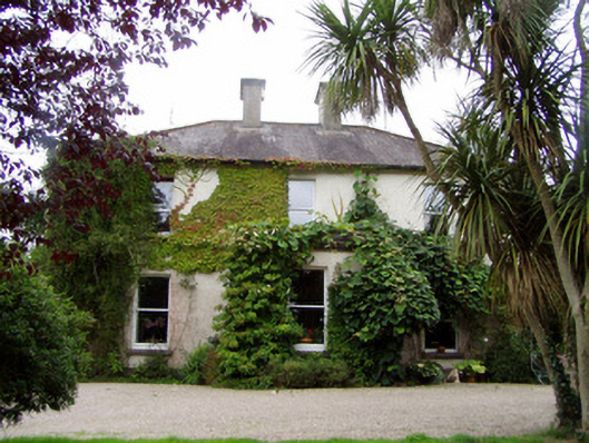 Conna Househouse · 1.1 mi
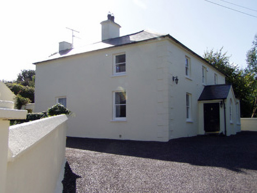 presbytery/parochial/curate's housepresbytery/parochial/curate's house · 1.2 mi
 Aghern CastleCastle · 1.5 mi
 Castlebrook forestWood · 1.6 mi
 Conna CastleCastle · 1.7 mi
 Graveyard in Curraheen (kinnatalloon By.)Graveyard · 2.1 mi
 Graveyard in KillasseraghGraveyard · 2.7 mi
 Salt HillMountain / peak · 3.9 mi
 Coole WellVisitor information · 4.0 mi