What is recorded here
On a natural terrace above the flood-plain of a stream to the SW. This raised D-shaped area (50m NW-SE; 37.5m NE-SW), with a straight SW side, is enclosed by a substantial bank of earth and stone (Wth 4.5-5.9m; H 0.6-1.25m), a shallow intervening fosse (Wth 6.8-8m; D 0.3-0.65m) from WNW-N-SSE and an outer bank (Wth 4-4.5m; H 0.4-1.05m). Elsewhere the defining element is a steep, natural drop (H 3-5m) to the flood-plain below. A break (Wth 5m) in the bank at NE probably marks the original entrance.
Compiled by: Patrick F. O'Donovan
Date of upload: 16 January 2012
The monument record does not grant public access. Check the route and ask the landowner before entering private land.
- What survives
- Recorded monument
Places near here
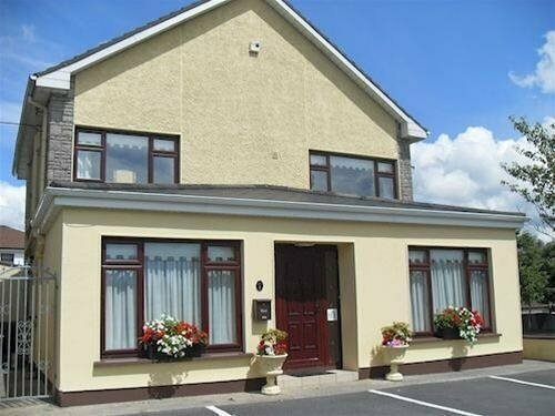 LisnagreeFairy fort / earthen ringfort · 936 yd
 Enclosure in Kilfintan Lower OR CrancamEnclosure · 1244 yd
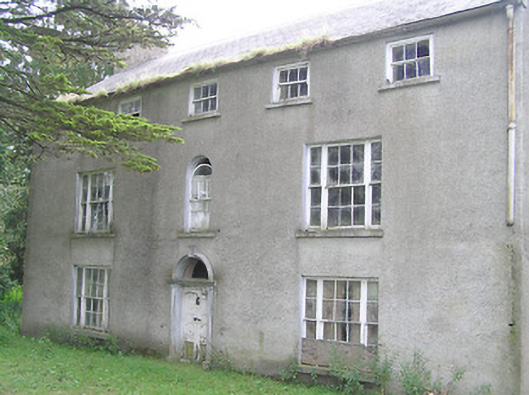 Killasona Housecountry house · 1406 yd
 Site of Castle NugentCastle, unclassified · 1647 yd
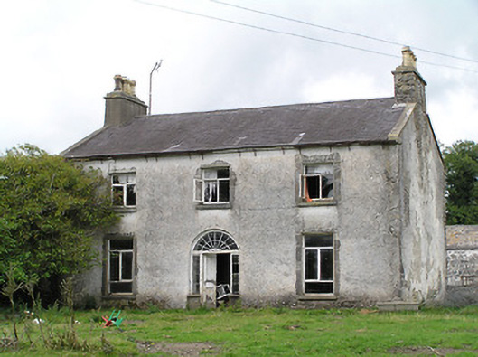 Castle Nugenthouse · 1661 yd
 Coolamber CastleHouse, fortified house · 2.2 mi
 Granard MotteMotte-and-bailey castle remains · 2.5 mi
 1798 Monumentmonument · 2.5 mi
 Clonfin Ambush MemorialMemorial · 4.3 mi
 Cloonfin WoodForest · 5.2 mi
 CarrickMountain / peak · 5.3 mi
 CarrickabaneMountain / peak · 5.3 mi