What is recorded here
In level pasture. Monument, depicted on 1923 OS 6-inch map as roughly circular enclosure (diam. c. 30m), has been levelled. However, of earthen bank (int. H 0.45m; ext. H 0.25m) survives WNW->NNW. Site was levelled in 1978 and described at that time as roughly circular area defined by low scarped edge SW->N, and enclosed elsewhere by low earthen bank except S->SSW where a section had been levelled some time previously (OPW top. files).
Compiled by: Denis Power
Date of upload: 26 August 2011
The monument record does not grant public access. Check the route and ask the landowner before entering private land.
- What survives
- Recorded monument
Places near here
 Burial GroundGraveyard · 361 yd
 Holy well in KilrodaneHoly well · 369 yd
 bridgebridge · 1407 yd
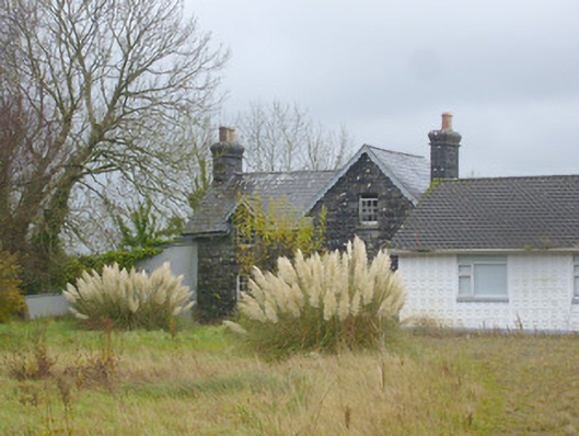 Ardagh Railway Stationrailway station · 1493 yd
 CahermoyleCastle, unclassified · 1.9 mi
 St. Luke's WellSpring · 2.0 mi
 Templars Castle (in ruins)Castle, Anglo-Norman masonry castle · 2.2 mi
 St. Kieran's WellSpring · 3.1 mi
 Limerick GreenwayWalking route · 3.9 mi
 European ashEuropean ash · 4.3 mi
 Sugar HillMountain / peak · 5.5 mi
 Ballagh MountainMountain / peak · 8.1 mi