What is recorded here
Killard in County Cork once held a circular earthen fort thirty-two metres wide, but ploughs and progress have levelled it into ordinary farmland. The 1842 Ordnance Survey map still shows the ring, proving the earth remembered a boundary people no longer see. Fairy fort is the local name, yet the shape matches a human rath: a made circle, not a fantasy one. Forgetting has done more than building ever did.
In tillage. Levelled; depicted on 1842 OS 6-inch map as circular enclosure (diam. c. 32m). (Walsh 1985, 54, 116, no. 78)
The above description is derived from the published 'Archaeological Inventory of County Cork. Volume 2: East and South Cork' (Dublin: Stationery Office, 1994). In certain instances the entries have been revised and updated in the light of recent research.
Date of upload/revision: 14 January 2009
The monument record does not grant public access. Check the route and ask the landowner before entering private land.
- What survives
- Recorded monument
Places near here
 Welcome to KillardVisitor information · 599 yd
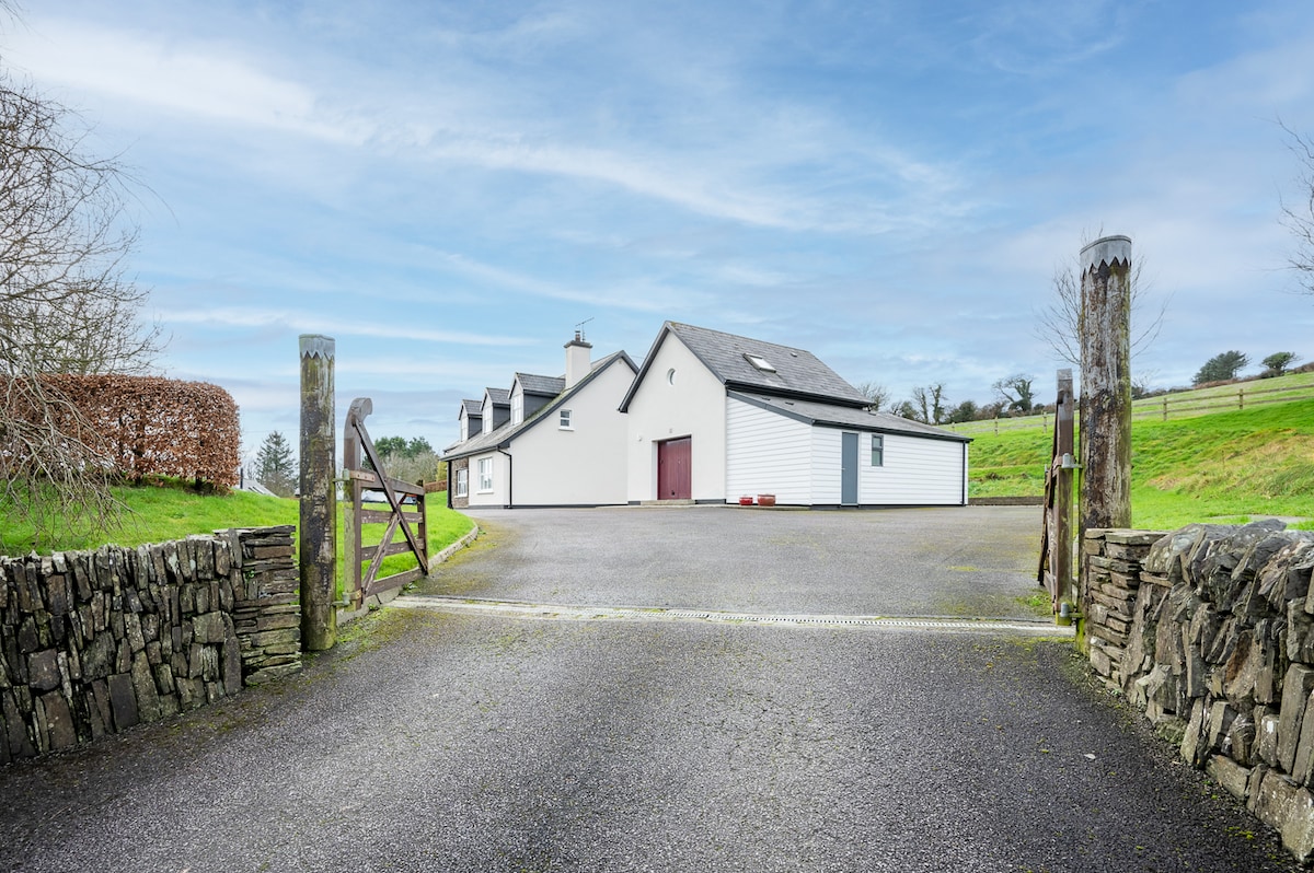 Fulacht fia in Clogheen (cork By.)Fulacht fia · 692 yd
 KilnKiln, lime · 948 yd
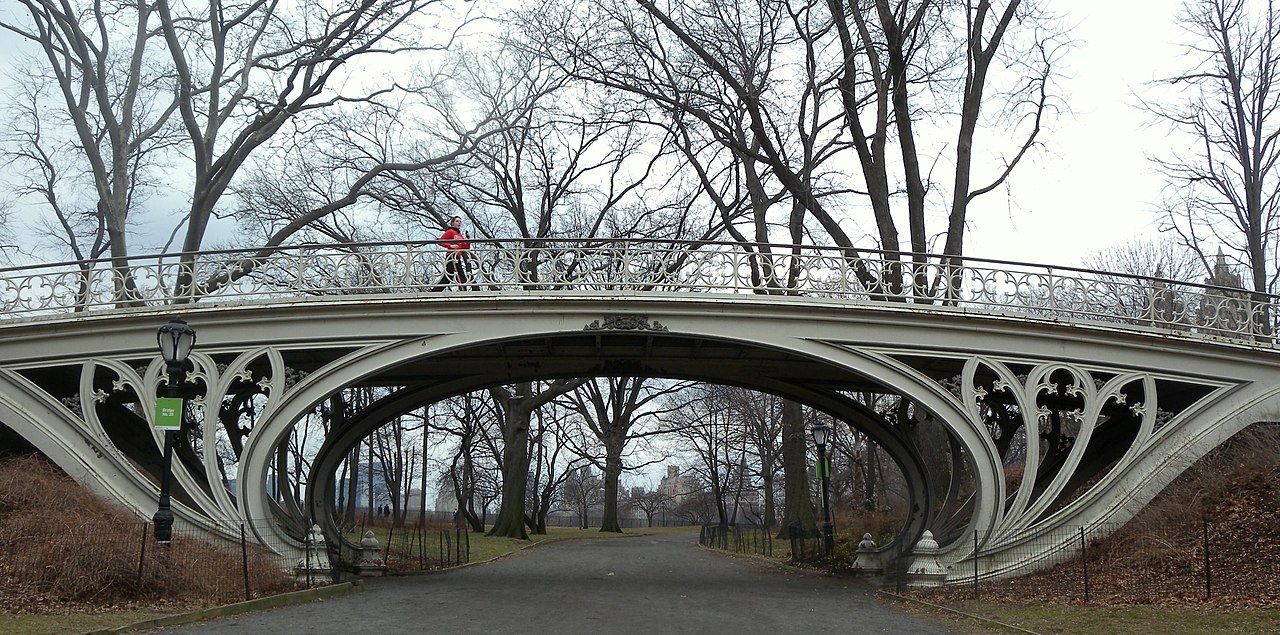 Gothic BridgeBridge · 991 yd
:BlarneyCastle,KinsaleCorkCityShoreTour-KlookIndia.jpg) Clogheenmilcon SanctuaryNature reserve · 1056 yd
Clogheenmilcon SanctuaryNature reserve · 1056 yd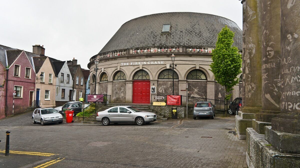 Clogheenmilcon FenVisitor information · 1098 yd
 All Saints WellHoly well · 1176 yd
 Fox's Rock WoodWood · 1599 yd
 The Rock CloseHeritage attraction · 1607 yd
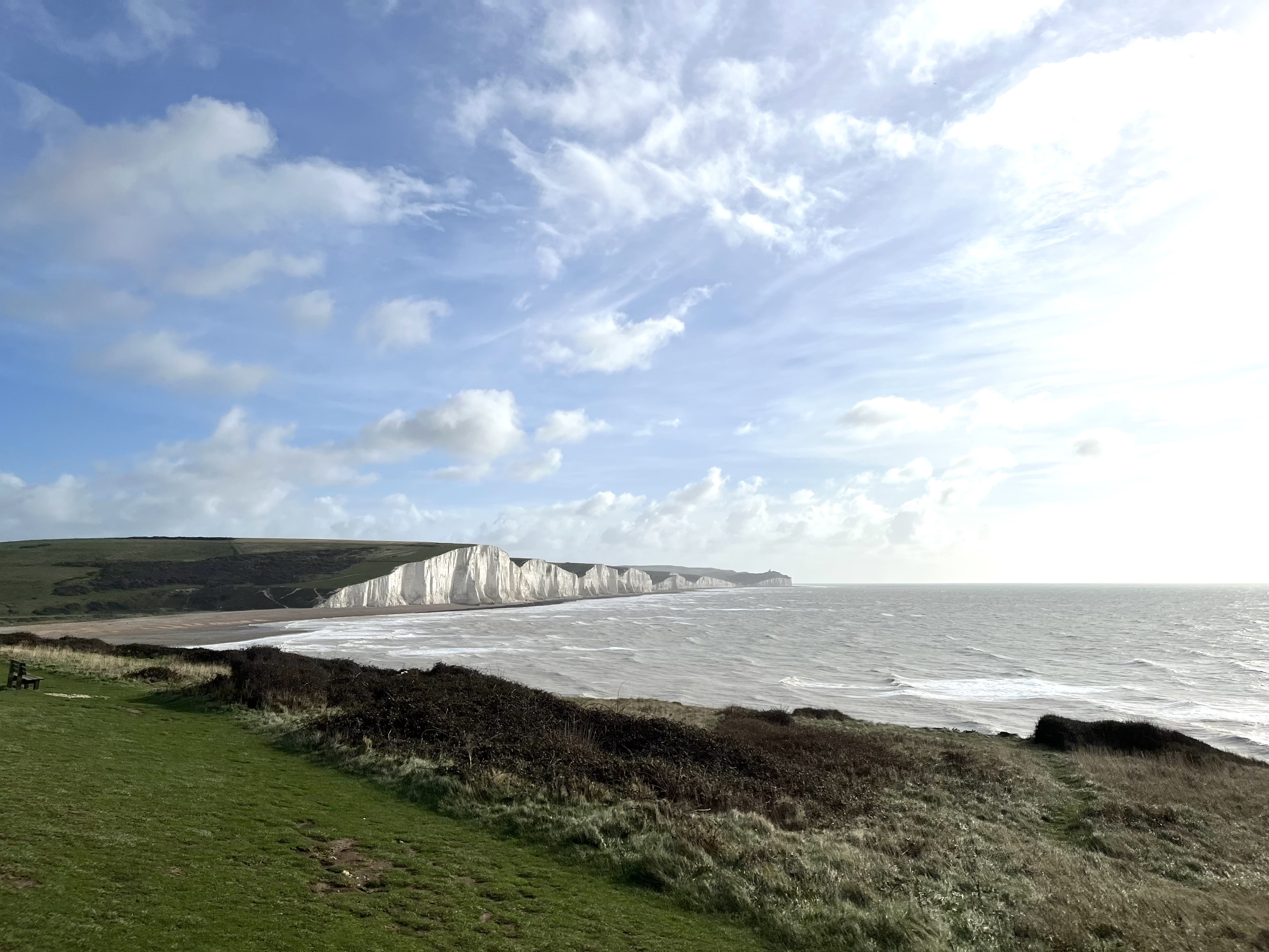 The Seven SistersHeritage attraction · 1640 yd
 BallyCannon Boys MemorialMemorial · 1641 yd
 Conor LuceyMemorial · 1.0 mi