What is recorded here
In rough grazing, on top of a ridge. The westernmost of two adjoining raths (see SL027-023----), the fosses of which are c. 4m apart. A raised circular area (int. diam. 39m) enclosed by an earthen bank and an external fosse. The bank is substantial (Wth c. 8m; int. H 1.4m; ext. H 2m) with some traces of internal stone kerbing at W and SW. Traces of possible footings of a stone wall are evident on top of the bank along the S arc. The entrance (Wth c. 5.4m) is at NE with a causeway across the fosse. The fosse (Wth 6m; D 1.1m) is clearly defined all round and apart from the junction with the adjoining rath at E, is surrounded by a terrace (Wth 13m; H 0.6m). The interior is partially covered with overgrowth.
The above description is derived from the published 'Archaeological Inventory of County Sligo' compiled by Ursula Egan, Elizabeth Byrne, Mary Sleeman with Sheila Ronan and Connie Murphy (Dublin Stationery Office, 2005).
Date of upload: 18 January 2008
The monument record does not grant public access. Check the route and ask the landowner before entering private land.
- What survives
- Recorded monument
Places near here
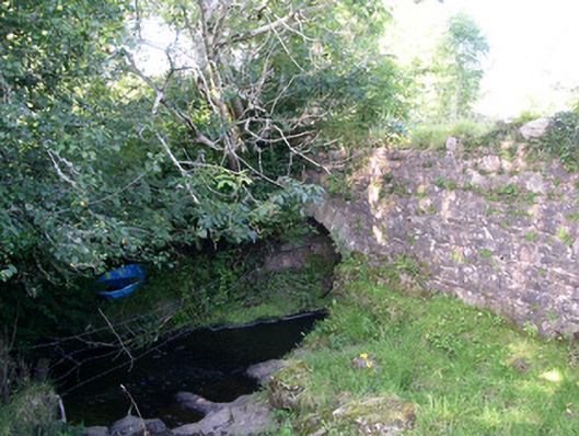 Lurgan Bridgebridge · 674 yd
 Hut site in ArdleebegHut site · 931 yd
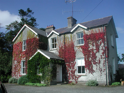 The Old Rectoryrectory/glebe/vicarage/curate's house · 974 yd
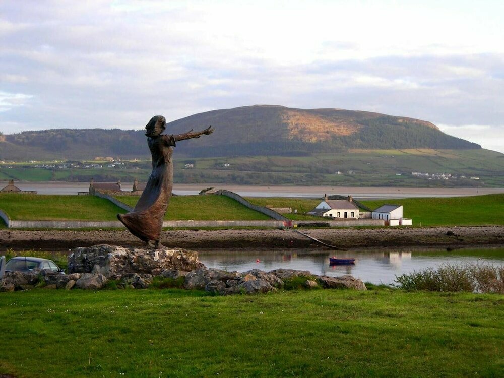 Indicated (1838).Fairy fort / earthen ringfort · 1307 yd
 CastleCastle, motte · 1.1 mi
 Giants GraveArchaeological place · 1.1 mi
 Castle (in Ruins)Castle, tower house · 1.7 mi
 Field MapleField Maple · 1.8 mi
 European ashEuropean ash · 2.4 mi
 James MorrisonMemorial · 3.1 mi
 Riverstown Folk ParkHeritage attraction · 3.3 mi
 Battle of Collooneybattle · 3.4 mi