What is recorded here
Killaghteen holds a broken ring where human hands shaped the earth before memory faded. The measurement is plain: twenty-six metres north to south, twenty-five east to west, with a shallow scarped edge and whitethorn bushes along part of the crest. The meadow has swallowed the rest. What is left is a circle wide enough to walk, quiet enough to forget, and old enough to make that forgetting feel like loss.
In level meadow. Circular area (26.7m N-S; 25.2m E-W) defined by scarped edge (H 0.45m; Wth 6.3m). Scarp is ringed on crest by whitethorn bushes ENE->NW. Interior level and entire site is covered by meadow.
Compiled by: Denis Power
Date of upload: 26 August 2011
See attached ASI aerial photograph ASIAP – 324A/3 on 05/10/2002.
The monument record does not grant public access. Check the route and ask the landowner before entering private land.
- What survives
- Recorded monument
Places near here
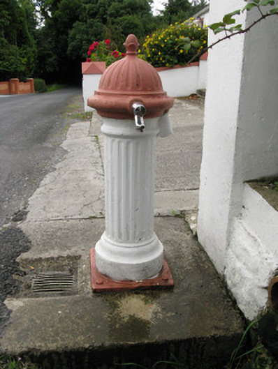 water pumpwater pump · 1739 yd
 Holy well in Ballyshane (glenquin By.)Holy well · 1.0 mi
 Enclosure in Ballymurragh EastEnclosure · 1.3 mi
 viaductviaduct · 1.3 mi
 Templars Castle (in ruins)Castle, Anglo-Norman masonry castle · 1.9 mi
 Limerick GreenwayWalking route · 2.2 mi
 Sugar HillMountain / peak · 2.9 mi
 Glenquin CastleCastle · 3.7 mi
 TobereenalaffinaSpring · 3.9 mi
 Saint Ite's WellSpring · 4.0 mi
 Ballagh MountainMountain / peak · 5.0 mi
 Lawson's CypressLawson's Cypress · 7.7 mi