What is recorded here
On a hummock in grassland. Marked on the OS 6-inch maps as an oval enclosure (c. 35m N-S; c. 25m E-W). According to local information, the monument was known as a ‘fort’ and it was
enclosed by a bank and a very shallow external fosse. It was levelled in the early 1990s and no visible surface trace survives. Another possible rath (GA107-104----) lay c. 80m to the NE.
Compiled by: Galway Archaeological Survey, UCG
Date of upload: 2 April 2019
The monument record does not grant public access. Check the route and ask the landowner before entering private land.
- What survives
- Recorded monument
Places near here
 IndicatedQuarry · 646 yd
 Kilcrow Bridgebridge · 686 yd
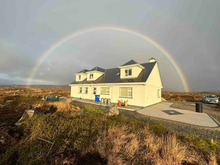 St. Bridgets WellHoly well · 1732 yd
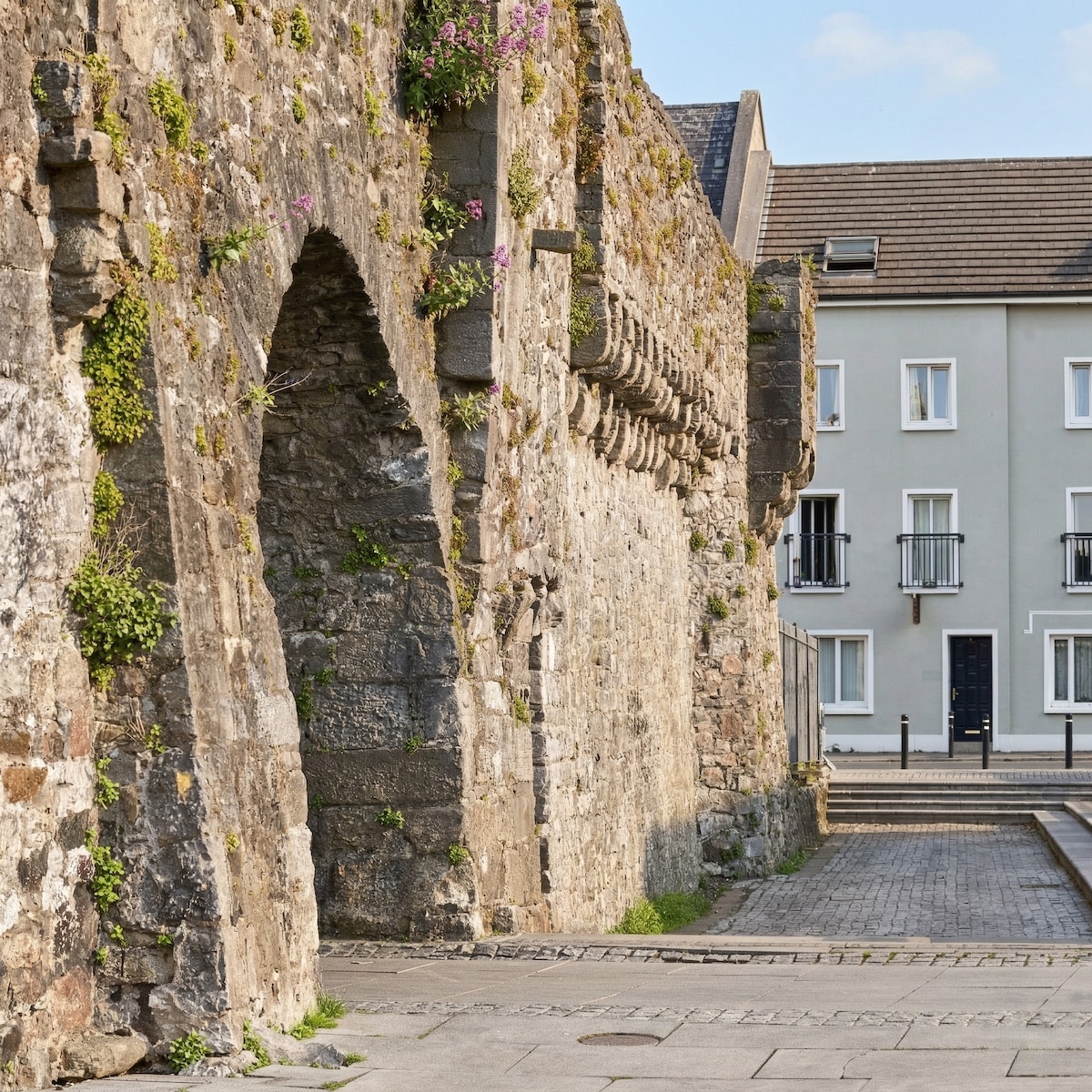 Eskerboy FortFairy fort / earthen ringfort · 1.1 mi
 MoatCastle, motte and bailey · 2.6 mi
 European YewEuropean Yew · 3.7 mi
 Bawn in Cooltymurraghy (clonmacnowen By.)Bawn · 3.9 mi
 European BeechEuropean Beech · 4.0 mi
 The bloody HollowHeritage attraction · 6.6 mi
 Battle of AughrimMajor battlefield · 6.7 mi
 Long IslandIsland · 6.9 mi
 Urraghry HillMountain / peak · 7.0 mi