What is recorded here
Kilgilky North is called a fairy fort because people believed the hidden chamber underneath the soil belonged to the fairies. The chamber is no longer visible, but the field still holds the shape of a circle and the memory of a house.
In pasture, on crest of low hill. Depicted as hachured circular enclosure on 1842 OS 6-inch map, bisected N-S by townland and barony boundary; W half of enclosure survives on 1905 and 1937 OS 6-inch maps. Levelled; arc (C 34m) formed by scarp (H 1m) survives SSW->NNE on W side of barony boundary; scarp continues on line of circle on E side of field boundary for c. 12m. Recorded by Bowman (1934, 54) as single-ramparted fort (diam. c. 38yd) on T. Dulohery's and J. Sheehan's land; portion in J. Sheehan's levelled; remaining bank was c. 6ft H. Man-made underground passage (CO024-07501-) c. 4.5m W of fort.
The above description is derived from the published 'Archaeological Inventory of County Cork. Volume 4: North Cork' (Dublin: Stationery Office, 2000). In certain instances the entries have been revised and updated in the light of recent research.
Date of upload/revision: 14 January 2009
The monument record does not grant public access. Check the route and ask the landowner before entering private land.
- What survives
- Recorded monument
Places near here
 Field system in BallycushenField system · 859 yd
 Enclosure in BallycushenEnclosure · 925 yd
 Ballygiblin Housecountry house · 1.3 mi
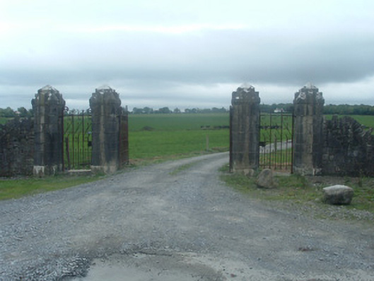 Castlelohortgates/railings/walls · 1.5 mi
 Graveyard in Ballygiblin (duhallow By.)Graveyard · 1.5 mi
 CastleCastle, unclassified · 2.1 mi
 Lohort CastleCastle, tower house · 2.1 mi
 Lady's WellSpring · 2.6 mi
 European YewEuropean Yew · 3.1 mi
 Burial ground in AssolasBurial ground · 3.3 mi
 Dromaneen CastleHeritage attraction · 4.7 mi
 Battle of LiscarrollMajor battlefield · 4.9 mi