What is recorded here
Keenrath is a circular earthen ringfort in County Cork, Ireland. It is a fairy fort because the bank stands two metres high, tops a shallow ditch, and hides a possible underground passage inside its overgrown centre. People may have lived there before the trees took the stones back. The earth remembers the shape even when the names have faded.
In pasture, atop natural rise. Circular, heavily overgrown area (diam. c.35m), defined by scarp (H 2.4m) topped by low bank (H 1.4m); shallow fosse. Bank stone-faced and planted with trees. Possible Man-made underground passage (CO093-06002-) in interior.
The above description is derived from the published 'Archaeological Inventory of County Cork. Volume 1: West Cork' (Dublin: Stationery Office, 1992). In certain instances the entries have been revised and updated in the light of recent research.
Date of upload/revision: 14 January 2009
The monument record does not grant public access. Check the route and ask the landowner before entering private land.
- What survives
- Recorded monument
Places near here
 Man-made underground passage in KeenrathMan-made underground passage · 1 yd
 Wedge tomb in KeenrathWedge tomb · 318 yd
 Keenrath Bridgebridge · 611 yd
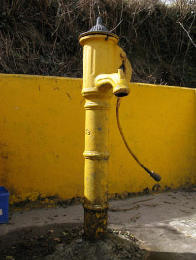 water pumpwater pump · 909 yd
 Togher CastleCastle, tower house · 1556 yd
 Shehy MoreMountain / peak · 2.7 mi
 Funmanway Adventure LandHeritage attraction · 3.1 mi
 Gortnahoughtee Mass RockNamed rock · 3.1 mi
 Mount GunneryMountain / peak · 3.2 mi
 Castle (Site of)Castle, Anglo-Norman masonry castle · 3.9 mi
 Dunmanway Heritage CentreVisitor information · 4.0 mi
 Graveyard in Dunmanway NorthGraveyard · 4.1 mi